Dublin 4, Dublin
Map
Facts and practical information
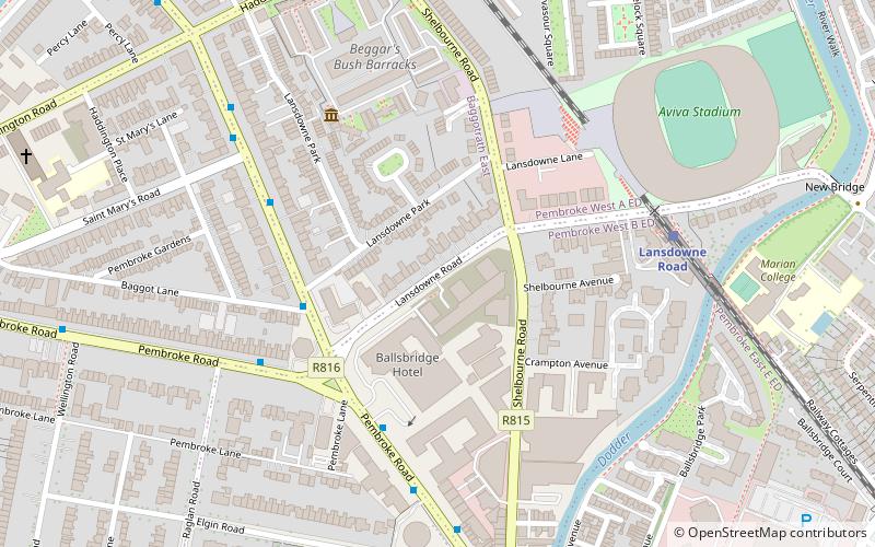
Dublin 4, also rendered as D4 and D04, is a historic postal district of Dublin, Ireland including Baggot Street Upper, the southernmost fringes of the Dublin Docklands, and the suburbs of Ballsbridge, Donnybrook, Irishtown, Merrion, Ringsend and Sandymount, on the Southside of Dublin. Most of the area was known as Pembroke Township until 1930 when it was absorbed by the City and County Borough of Dublin. ()
Coordinates: 53°19'60"N, 6°13'60"W
Address
Southside (Pembroke)Dublin
ContactAdd
Social media
Add
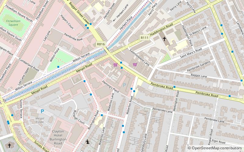
Getting there by public transportation
Public transportation stops near this location
- Bus
- Tram
- Train
 Bus
Bus
- Calculate route#488 Northumberland Rd, Lansdowne Park 3 min walk
- Calculate route#414 Pembroke Road, Lansdowne Road 4 min walk
- Calculate route#413 Northumberland Rd, Lansdowne Park 4 min walk
- Calculate route#487 Pembroke Road, American Embassy 5 min walk
- Calculate routeLansdowne Road 5 min walk
- Calculate routeGrand Canal Dock 13 min walk
- Calculate routeSandymount 17 min walk
- Calculate routeDublin Pearse 24 min walk
- Calculate routeThe Point 27 min walk
- Calculate routeRanelagh 28 min walk
- Calculate routeCharlemont 28 min walk
- Calculate routeSpencer Dock 28 min walk
Day trips


Frequently Asked Questions (FAQ)
Which popular attractions are close to Dublin 4?
Nearby attractions include Shelbourne Road, Dublin (2 min walk), National Print Museum, Dublin (4 min walk), Aviva Stadium, Dublin (7 min walk), Northumberland Road, Dublin (7 min walk).
How to get to Dublin 4 by public transport?
The nearest stations to Dublin 4:
Bus
Train
Tram
Bus
- #488 Northumberland Rd, Lansdowne Park • Lines: 4 (3 min walk)
- #414 Pembroke Road, Lansdowne Road • Lines: 4, 7 (4 min walk)
Train
- Lansdowne Road (5 min walk)
- Grand Canal Dock (13 min walk)
Tram
- The Point • Lines: Luas Red Line (27 min walk)
- Ranelagh • Lines: Luas Green Line (28 min walk)