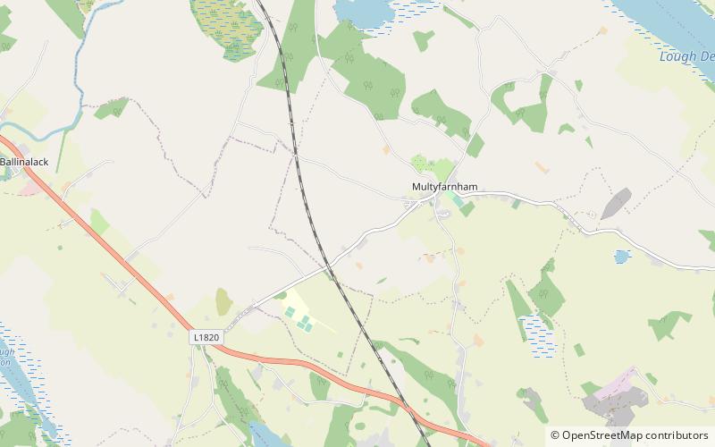
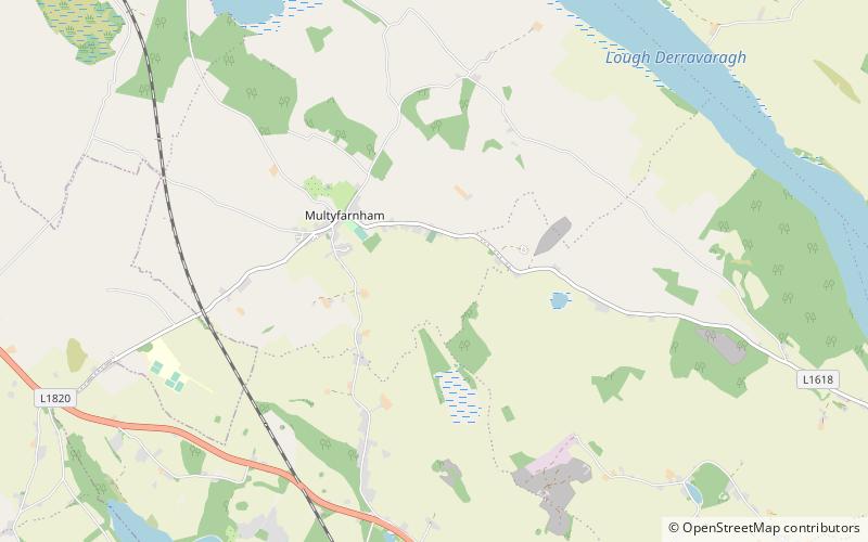
Multyfarnham or Fearbranagh, Multyfarnham
#1 among attractions in Multyfarnham
![Multyfarnham or Fearbranagh location map](https://tzmedia.b-cdn.net/media/images/static-maps/ie/53_6202_-7_37455.jpg)
Facts and practical information
Multyfarnham Ireland
Multyfarnham or Fearbranagh – popular in the area (distance from the attraction)
Nearby attractions include: Tullynally Castle, Lough Owel, Lough Sheever, Knockeyon.
4.7 miNEMuseum, Forts and castles, Gothic Revival architectureTullynally Castle, Castlepollard
121 min walk • Tullynally Castle, also known as Pakenham Hall, is a country house situated some 2 km from Castlepollard on the Coole village road in County Westmeath, Ireland.
3.3 miSFishing and swimming in tranquil environsLough Owel
85 min walk • Lough Owel is a mesotrophic lough in the Midlands of Ireland, situated north of Mullingar, the county town of Westmeath. It has a maximum depth of 21 metres.
5.8 miSENature, Natural attraction, LakeLough Sheever
149 min walk • Lough Sheever is a small lake near Mullingar, County Westmeath, Ireland. It is located off the Castlepollard road about 3 kilometers from Mullingar. The lake is popular with anglers, for roach, perch, tench, etc. Boat hire is available.
3.2 miENature, Natural attraction, MountainKnockeyon
82 min walk • Knockeyon is a hill in County Westmeath, Ireland in the townland of Streamstown. When viewed from the Ranaghan, and Gillardstown side of the hill, it dominates the surrounding lakes in the countryside of northern County Westmeath.
4.6 miEChurchTaghmon Church
118 min walk • Taghmon Church is a fortified church and National Monument in County Westmeath, Ireland.
2.4 miNEForts and castlesMortimer's Castle
61 min walk • Mortimer's Castle is a castle and National Monument located in County Westmeath, Ireland.
4 miSEForts and castlesKnockdrin
103 min walk • Knockdrin is a townland and electoral division that is 5.6 kilometers northeast of Mullingar, in County Westmeath, Ireland. It is the home of the Westmeath Hunt, and its most notable building is Knockdrin Castle.
1.4 miNENature, Natural attraction, LakeLough Derravaragh
35 min walk • Lough Derravaragh is a lake in County Westmeath, Ireland, north of Mullingar between Castlepollard, Crookedwood and Multyfarnham. Lough Derravaragh sits on the River Inny which flows from Lough Sheelin on its way to the River Shannon. It is a popular lake for angling and other watersports.
5.6 miNEArchaeological siteRandoon, Fore
144 min walk • Randoon is a Turgesius Viking fortress located southwest of Lough Lene in Ireland. The fortress is situated upon a hill in Ranaghan, dominating by its height all other ringforts in the area, and overlooking Lough Lene between the towns of Castlepollard and Collinstown.
1.3 miWNeighbourhoodRathganny, Multyfarnham
33 min walk • Rathganny is a townland in County Westmeath, Ireland. It is located about 11.54 kilometres north-north–west of Mullingar. Rathganny is one of 14 townlands of the civil parish of Multyfarnham in the barony of Corkaree in the Province of Leinster. The townland covers 498 acres.
0.6 miWNeighbourhoodBallindurrow, Multyfarnham
17 min walk • Ballindurrow is a townland in County Westmeath, Ireland. It is located about 10.65 kilometres north of Mullingar. Ballindurrow is one of 14 townlands of the civil parish of Multyfarnham in the barony of Corkaree in the Province of Leinster. The townland covers 426.66 acres.