Al-Atatra, Gaza Strip

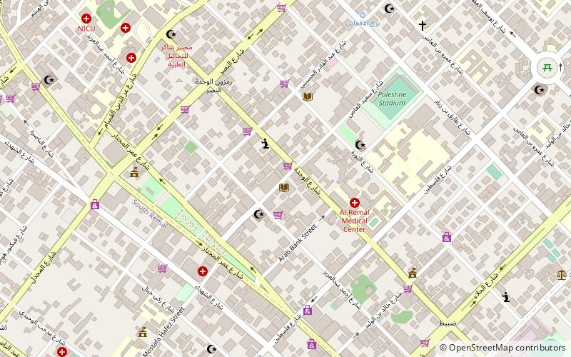
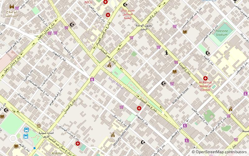
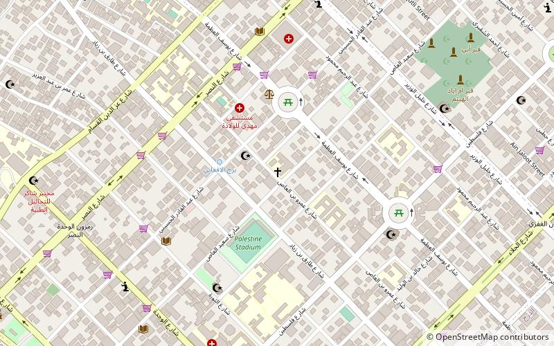
Map
Facts and practical information
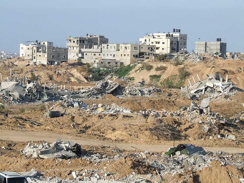
Al-Atatra is a northwestern neighborhood in the city of Beit Lahiya in the northern Gaza Strip. Its residents, the majority of whom are farmers or landowners are not Palestinian refugees, unlike most of the population in the Gaza Strip, including Beit Lahiya. A major cash crop in al-Atatra are strawberries which were mainly exported to Israel and the West Bank before Israel's siege of the Gaza Strip following the territory's control by Hamas, a Palestinian paramilitary and political organization. ()
Coordinates: 31°33'28"N, 34°29'12"E
Address
Gaza Strip
ContactAdd
Social media
Add
Day trips