Holy Family Church, Gaza Strip
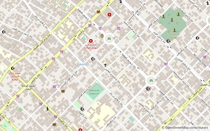
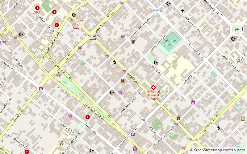
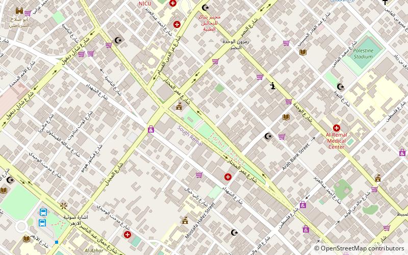
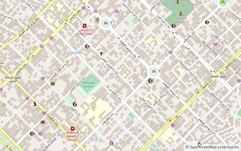
Map
Facts and practical information
The Holy Family Church It is the only Latin Catholic parish in Gaza City in the Gaza Strip in the Palestinian Territories. His pastor since 2012 is Father Jorge Hernández of the Congregation of the Incarnate Word, assisted by a vicar also the same institution. His parishioners are among some two hundred faithful. It has two primary and secondary schools, property and Jerusalem Latin Patriarchate, plus some clinics. ()
Getting there by public transportation
Public transportation stops near this location
- Bus
 Bus
Bus
- Calculate routeمفترق الحايك 26 min walk
- Calculate routeAlazhar Bus Station 26 min walk
- Calculate routeAl-Azhar Bus Station 26 min walk
- Calculate routeAnsar 28 min walk
Day trips


Frequently Asked Questions (FAQ)
Which popular attractions are close to Holy Family Church?
Nearby attractions include Palestine Square, Gaza Strip (4 min walk), Rimal, Gaza City (14 min walk), Unknown Soldier's Square, Gaza Strip (14 min walk), Al-Shati Camp, Gaza City (18 min walk).
How to get to Holy Family Church by public transport?
The nearest stations to Holy Family Church:
Bus
Bus
- مفترق الحايك (26 min walk)
- Alazhar Bus Station (26 min walk)