Palestine Square, Gaza Strip
Map
Facts and practical information
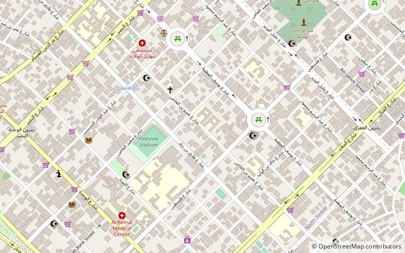
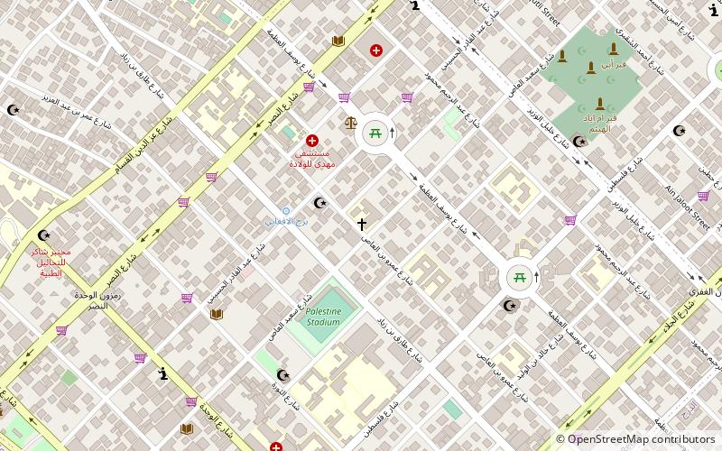
Palestine Square or Midan Falasteen is a city square in central Gaza in between Jamal Abdel Nasser Street and Omar Mukhtar Street. It is the location of a bus station, a taxi station, a fruit market, a hospital, and dozens of small shops and vendors. Gaza's municipal headquarters is also located in the square. Palestine Square once was walled when it laid along the southern edge of the Old City, overlooking barley and vegetable farms, olive and almond groves. ()
Coordinates: 31°31'21"N, 34°27'13"E
Address
Gaza Strip
ContactAdd
Social media
Add
Getting there by public transportation
Public transportation stops near this location
- Bus
 Bus
Bus
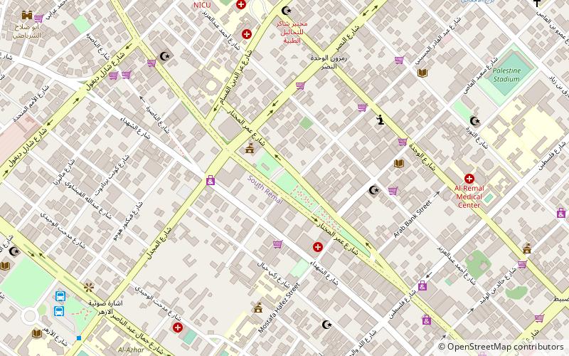
- Calculate routeمفترق الحايك 24 min walk
- Calculate routeAlazhar Bus Station 27 min walk
- Calculate routeAl-Azhar Bus Station 27 min walk
- Calculate routeAnsar 29 min walk
Day trips


Frequently Asked Questions (FAQ)
Which popular attractions are close to Palestine Square?
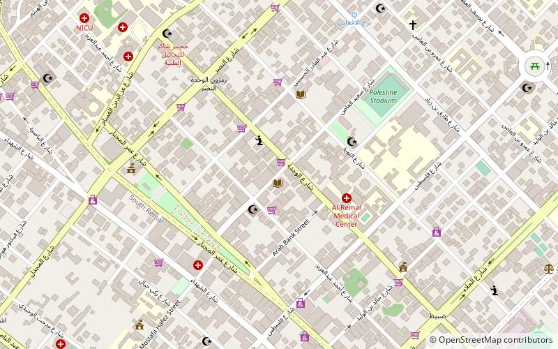
Nearby attractions include Holy Family Church, Gaza Strip (4 min walk), Unknown Soldier's Square, Gaza Strip (15 min walk), Rimal, Gaza City (15 min walk), Al-Shati Camp, Gaza City (21 min walk).
How to get to Palestine Square by public transport?
The nearest stations to Palestine Square:
Bus
Bus
- مفترق الحايك (24 min walk)
- Alazhar Bus Station (27 min walk)