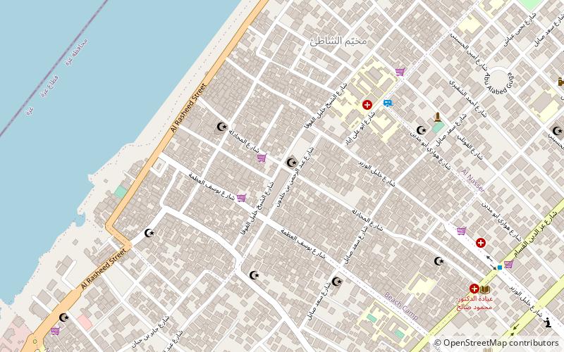
Al-Shati Camp, Gaza City

Gallery (1)
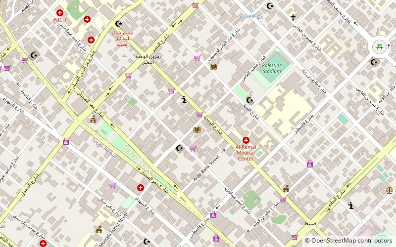
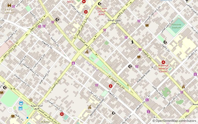
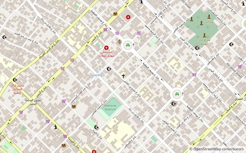
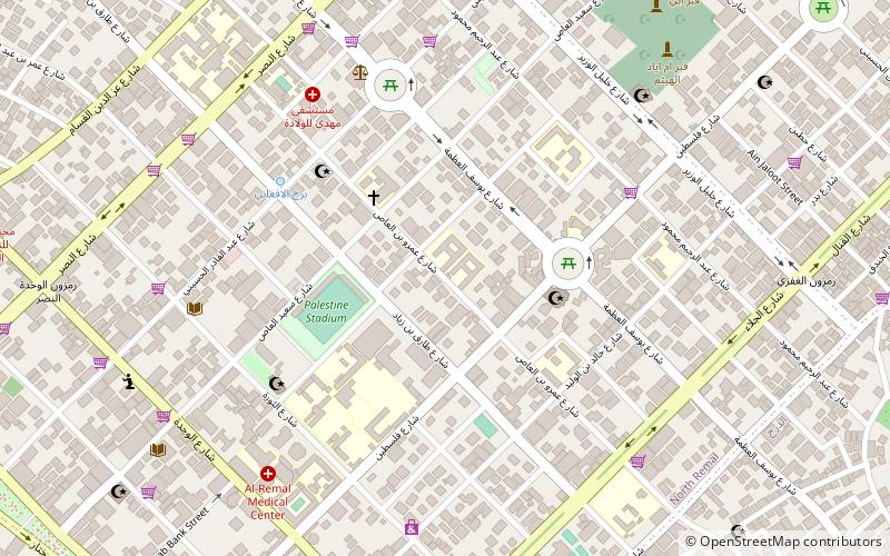
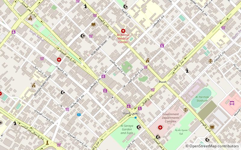
Map
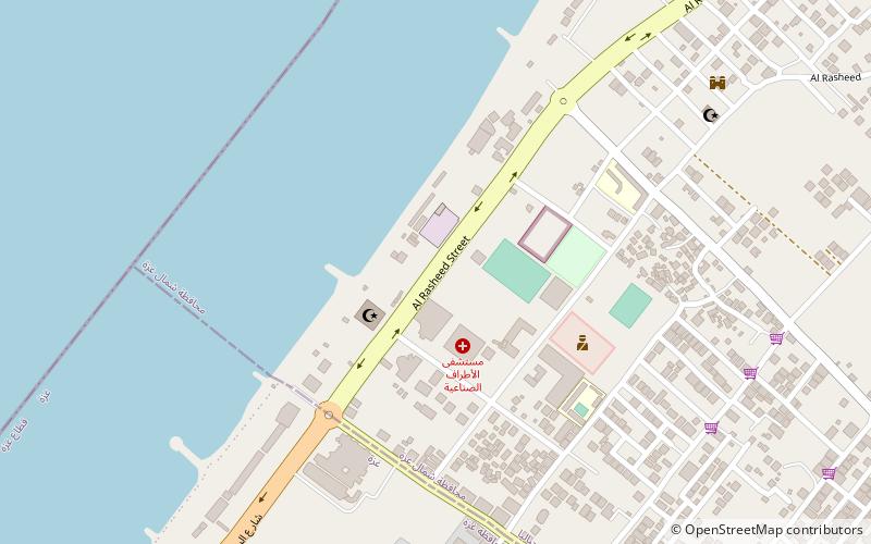
Map
Facts and practical information
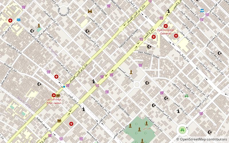
Al-Shati, also known as Beach camp, is a Palestinian refugee camp located in the northern Gaza Strip along the Mediterranean Sea coastline in the Gaza Governorate, and more specifically Gaza City. The camp's total land area consists of 520 dunums. According to the Palestinian Central Bureau of Statistics, al-Shati had a population of 87,158 inhabitants in mid-year 2006, while the United Nations Relief and Works Agency reports a population of 78,800 registered refugees. The camp is the third largest refugee camp in the Palestinian Territories. ()
Address
Gaza City
ContactAdd
Social media
Add
Getting there by public transportation
Public transportation stops near this location
- Bus
 Bus
Bus
- Calculate routeAnsar 29 min walk
- Calculate routeAlazhar Bus Station 31 min walk
- Calculate routeAl-Azhar Bus Station 31 min walk
Day trips


Frequently Asked Questions (FAQ)
Which popular attractions are close to Al-Shati Camp?
Nearby attractions include Rimal, Gaza City (16 min walk), Holy Family Church, Gaza Strip (18 min walk), Palestine Square, Gaza Strip (21 min walk), Nasser, Gaza City (22 min walk).
How to get to Al-Shati Camp by public transport?
The nearest stations to Al-Shati Camp:
Bus
Bus
- Ansar (29 min walk)
- Alazhar Bus Station (31 min walk)