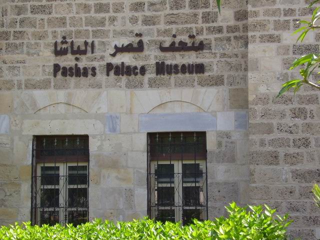
Qasr al-Basha, Gaza Strip

Gallery (2)
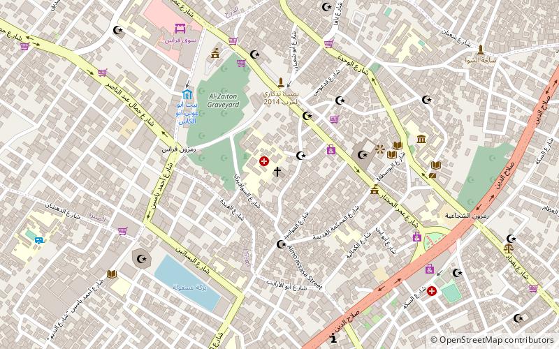
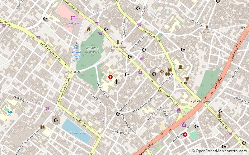
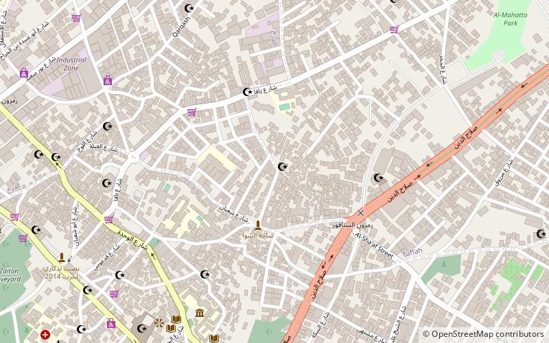
Map
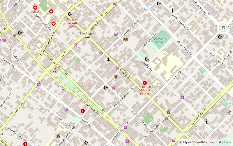
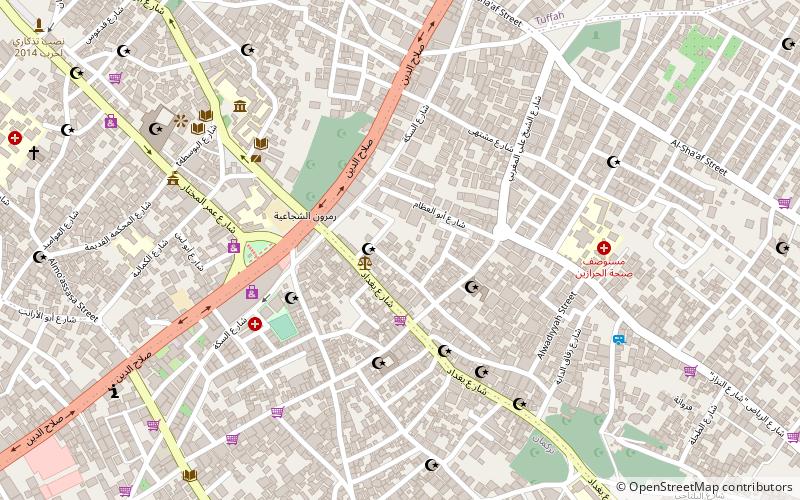
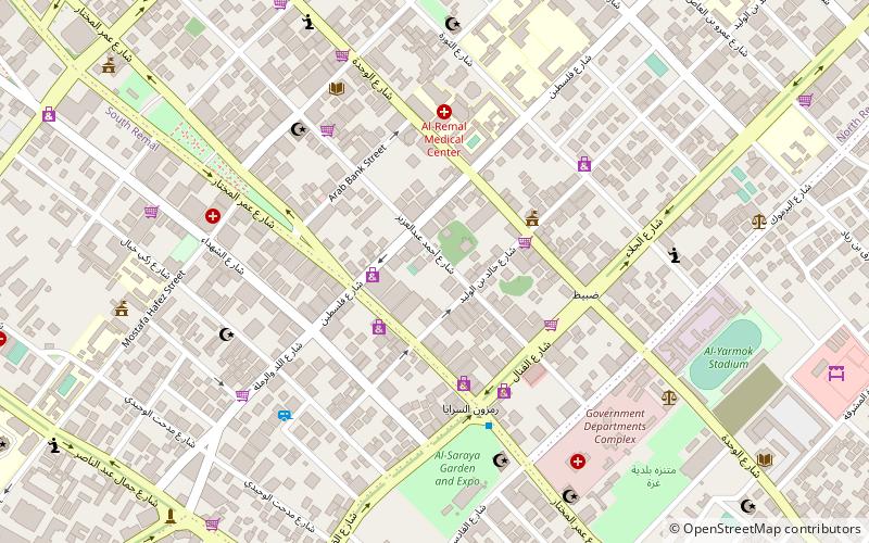
Map
Gallery
Facts and practical information
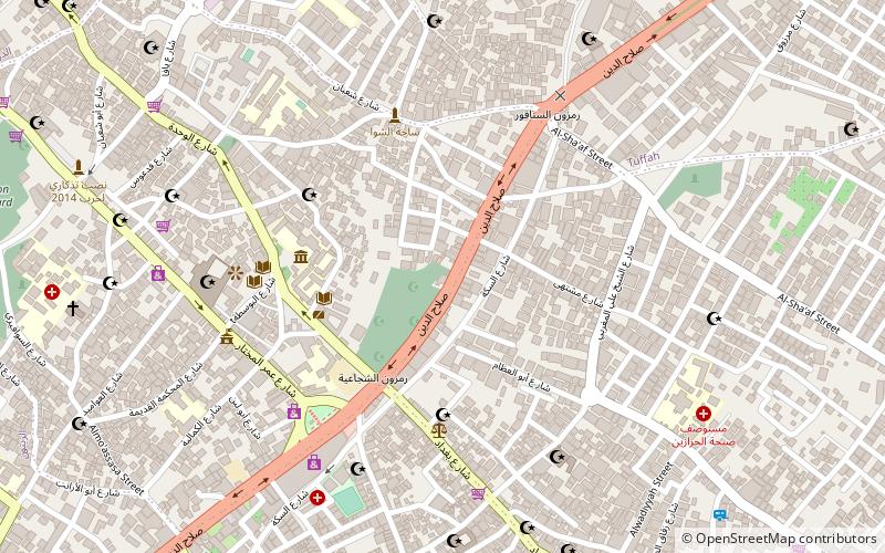
Qasr al-Basha, also known as Radwan Castle and Napoleon's Fort, was formerly a large palace, and now a two-floored girls' school and museum, situated in the Old City of Gaza. It served as a seat of power in the Mamluk and Ottoman periods and as a police station under the British Mandate. ()
Coordinates: 31°30'16"N, 34°27'59"E
Getting there by public transportation
Public transportation stops near this location
- Bus
 Bus
Bus
- Calculate routeمفترق الحايك 28 min walk
Day trips
Qasr al-Basha – popular in the area (distance from the attraction)
Nearby attractions include: Gold Market, Sayed al-Hashim Mosque, Church of Saint Porphyrius, Gaza Mall.


Frequently Asked Questions (FAQ)
Which popular attractions are close to Qasr al-Basha?
Nearby attractions include Ibn Uthman Mosque, Gaza Strip (4 min walk), Ibn Marwan Mosque, Gaza Strip (5 min walk), Gold Market, Gaza Strip (5 min walk), Katib al-Wilaya Mosque, Gaza Strip (6 min walk).
How to get to Qasr al-Basha by public transport?
The nearest stations to Qasr al-Basha:
Bus
Bus
- مفترق الحايك (28 min walk)