Katib al-Wilaya Mosque, Gaza Strip
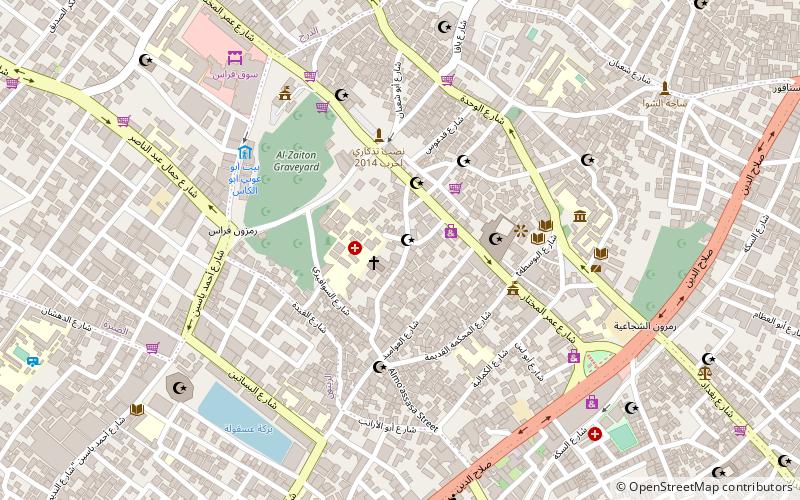
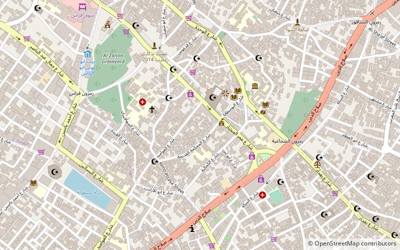
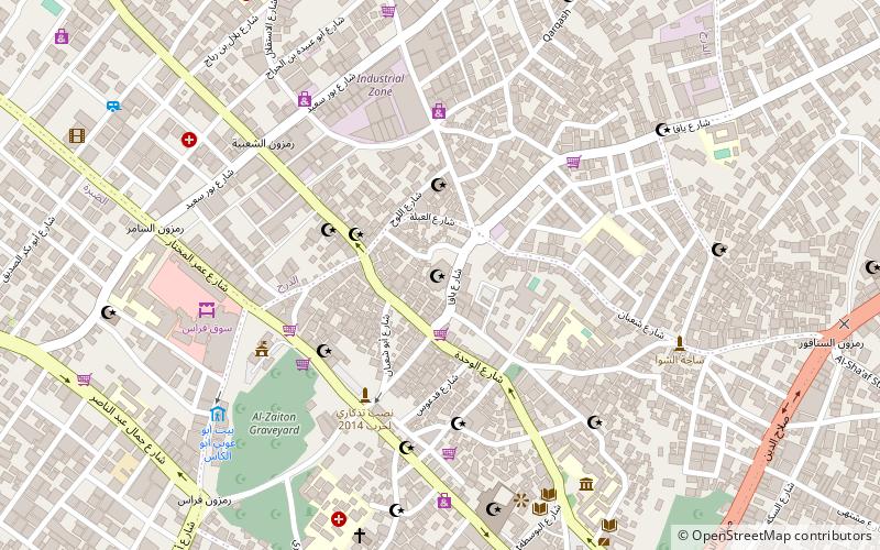
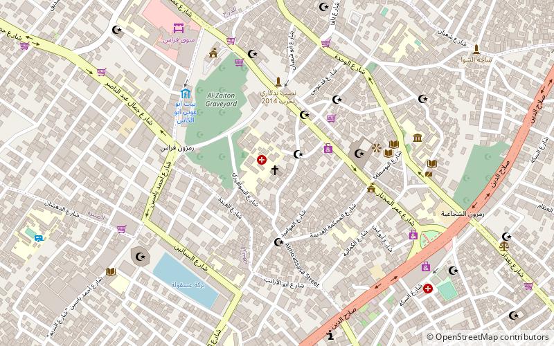
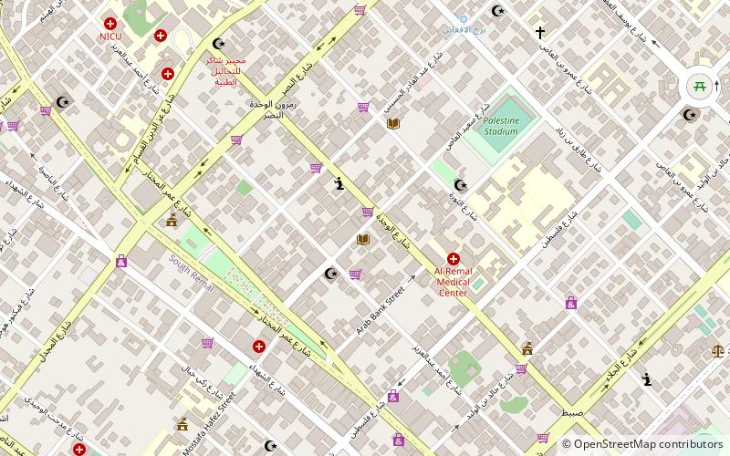
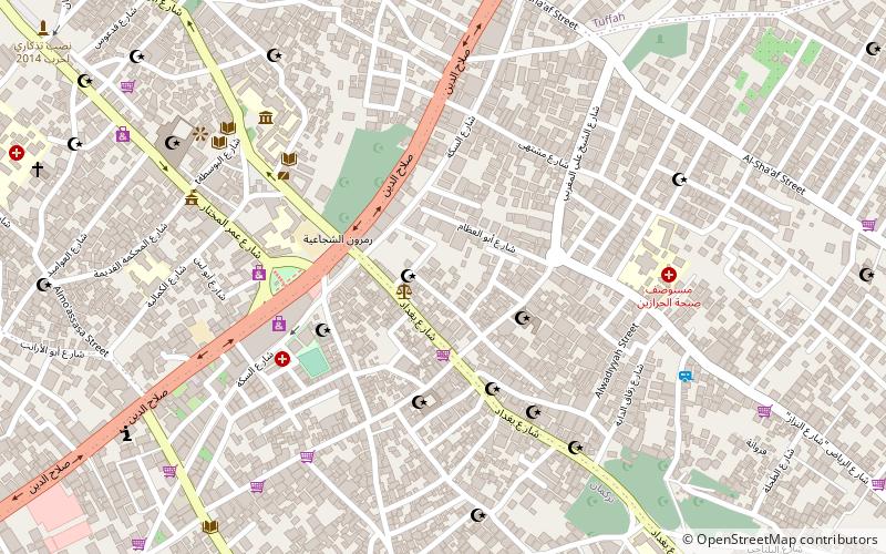
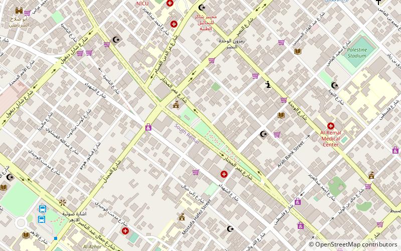
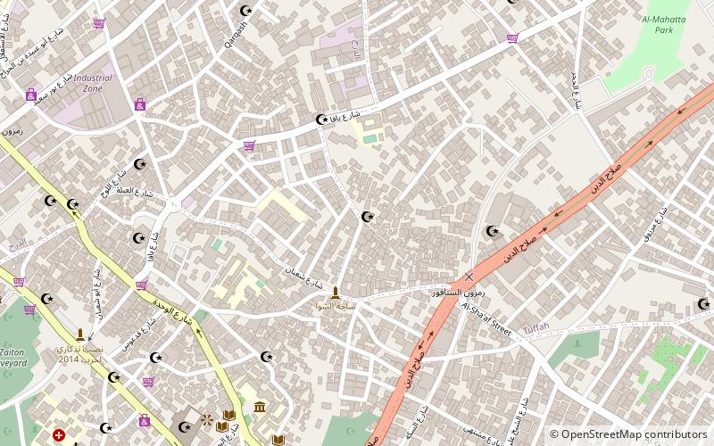
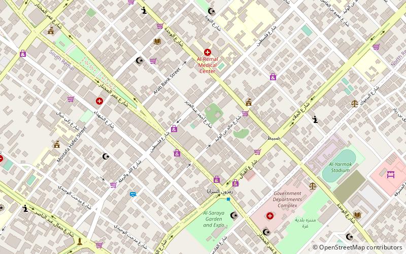
Map
Facts and practical information
Katib al-Wilaya Mosque or Welayat Mosque is a small historic mosque located along Omar Mukhtar Street in Gaza City in the Zaytun Quarter of the Old City. The mosque was built by the Burji Mamluks in 1432, however, the structure could date further back to 1344. Additions to the western part of the mosque were commissioned in 1584 by Ahmed Bey, the Ottoman clerk of the Damascus Vilayet. Damascus Vilayet's Arabic transliteration is Wilayat Dimashq, hence the name of the mosque Katib al-Wilaya. ()
Coordinates: 31°30'14"N, 34°27'45"E
Address
Gaza Strip
ContactAdd
Social media
Add
Getting there by public transportation
Public transportation stops near this location
- Bus
 Bus
Bus
- Calculate routeمفترق الحايك 23 min walk
Day trips


Frequently Asked Questions (FAQ)
Which popular attractions are close to Katib al-Wilaya Mosque?
Nearby attractions include Church of Saint Porphyrius, Gaza Strip (1 min walk), Gold Market, Gaza Strip (3 min walk), Qasr al-Basha, Gaza Strip (6 min walk), Sayed al-Hashim Mosque, Gaza Strip (8 min walk).
How to get to Katib al-Wilaya Mosque by public transport?
The nearest stations to Katib al-Wilaya Mosque:
Bus
Bus
- مفترق الحايك (23 min walk)