Church of Saint Porphyrius, Gaza Strip
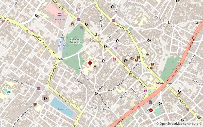
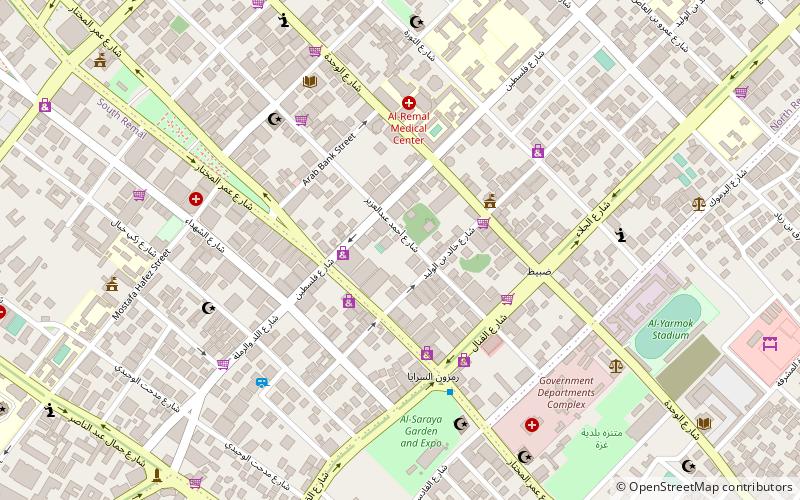
Map
Facts and practical information
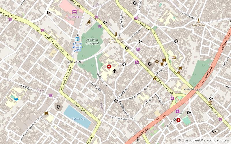
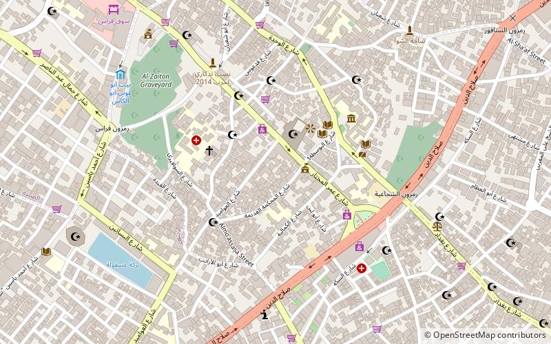
The Church of Saint Porphyrius is the Orthodox Christian church of Gaza, and the oldest active church in the city. Located in the Zaytun Quarter of the Old City, it is named after the 5th century bishop of Gaza, Saint Porphyrius, whose tomb is situated in the northeastern corner of the church. ()
Getting there by public transportation
Public transportation stops near this location
- Bus
 Bus
Bus
- Calculate routeمفترق الحايك 23 min walk
Day trips


Frequently Asked Questions (FAQ)
Which popular attractions are close to Church of Saint Porphyrius?
Nearby attractions include Katib al-Wilaya Mosque, Gaza Strip (1 min walk), Gold Market, Gaza Strip (4 min walk), Qasr al-Basha, Gaza Strip (7 min walk), Sayed al-Hashim Mosque, Gaza Strip (9 min walk).
How to get to Church of Saint Porphyrius by public transport?
The nearest stations to Church of Saint Porphyrius:
Bus
Bus
- مفترق الحايك (23 min walk)