Hurshat Tal
#210 among destinations in Israel
![Hurshat Tal location map](https://tzmedia.b-cdn.net/media/images/static-maps/il/32_6844_35_5306.jpg)
Facts and practical information
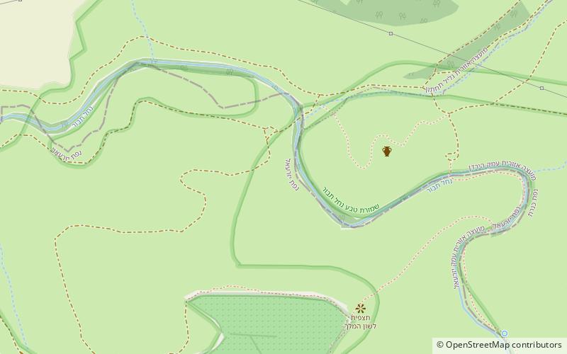
Hurshat Tal is a national park and nature reserve in the Northern District of Israel. In 1968, 765 dunams were declared national park lands and 107 dunams were declared a nature reserve. ()
HaZafonIsrael
Hurshat Tal plan & book
Unleash the traveler in you — discover the cheapest flight deals, find the perfect hotel or hostel nearby, and search for the best car rental prices. Travel at your own pace to discover new places and enjoy your journey.
Hurshat Tal – popular in the area (distance from the attraction)
Nearby attractions include: Yardenit, Khirbet Kerak, Degania Dam, Ohalo II.
3 miNEBaptismal site on the River JordanYardenit
76 min walk • Yardenit, also known as the Yardenit Baptismal Site, is a baptism site located along the Jordan River in the Galilee region of northern Israel, which is frequented by Christian pilgrims.
3.3 miNEArchaeological siteKhirbet Kerak
86 min walk • Khirbet Kerak or Beth Yerah is a tell located on the southern shore of the Sea of Galilee in modern-day Israel. The tell spans an area of over 50 acres—one of the largest in the Levant—and contains remains dating from the Early Bronze Age and from the Persian period through to the Early Islamic period.
3.1 miNEDamDegania Dam
80 min walk • The Degania Dam is a small barrage across the Jordan River just below the Sea of Galilee near Degania Alef and Yardenit in northern Israel. The purpose of the dam is to regulate water levels in the Sea of Galilee and flows into the lower Jordan River. It has two floodgates capable of releasing 800 m³/s.
3.5 miNEPrehistoric siteOhalo II
91 min walk • Ohalo II is an archaeological site in Israel, near Kinneret, on the southwest shore of the Sea of Galilee. It is one of the best preserved hunter-gatherer archaeological sites of the Last Glacial Maximum, radiocarbon dated to around 23,000 BP.
3.7 miSEIsland, ParkIsland of Peace
94 min walk • The Island of Peace, or Al-Baqoura as it is known in Jordan, is an area in northern Jordan bordering the Jordan River. The park is at the confluence of the Jordan River and Yarmouk River.
4.5 miSWPrehistoric siteMunhata
115 min walk • Munhata is an archaeological site 11 kilometres south of Lake Tiberias, Israel on the north bank and near the outlet of Nahal Tavor on a terrace 215 metres below sea level.
1.8 miEPrehistoric siteUbeidiya
46 min walk • Ubeidiya commonly refers to: Ubeidiya prehistoric site Ubeidiya, West Bank Ubeidiya...
3.3 miNEArchaeological siteAl-Sinnabra
86 min walk • Al-Sinnabra or Sinn en-Nabra, is the Arabic place name for a historic site on the southern shore of the Sea of Galilee in modern-day Israel.
3.8 miNEUniversities and schoolsKinneret College
98 min walk • The Kinneret Academic College on the Sea of Galilee, also known as Kinneret College and Academic Kinneret, is a college located on the southern shores of the Sea of Galilee in northern Israel.
4.6 miSE 2 miNEPrehistoric siteTel Ali
52 min walk • Tel Ali is an archaeological site located one mile south of the Sea of Galilee, in the central Jordan Valley, Israel. It has been excavated twice.