Munhata
Map
Facts and practical information
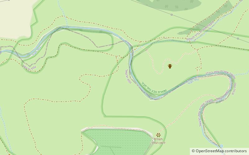
Munhata is an archaeological site 11 kilometres south of Lake Tiberias, Israel on the north bank and near the outlet of Nahal Tavor on a terrace 215 metres below sea level. ()
Coordinates: 32°39'9"N, 35°27'48"E
Location
HaZafon
ContactAdd
Social media
Add
Day trips