Huwwara checkpoint, Nablus
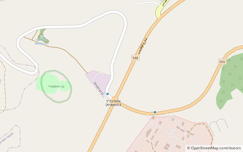
Map
Map

Facts and practical information
The Huwwara checkpoint or Huwara checkpoint or Hawara checkpoint is a major Israel Defense Forces checkpoint at one of the four main exits of Nablus. It is located south of the city. It was established on October 2000. The facility was named after the nearby village of Huwara. ()
Local name: מחסום חווארהCoordinates: 32°10'40"N, 35°16'23"E
Address
Nablus
ContactAdd
Social media
Add
Day trips
Huwwara checkpoint – popular in the area (distance from the attraction)
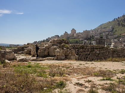
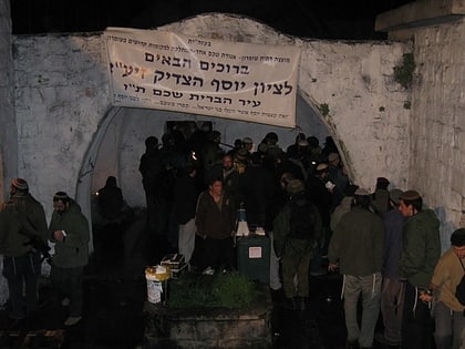
Nearby attractions include: Mount Gerizim, Jacob's Well, Shechem, Joseph's Tomb.


