Tell Balata, Nablus
Map
Gallery
Facts and practical information
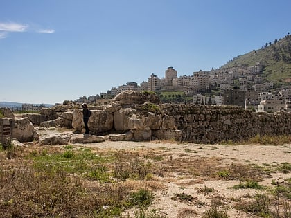
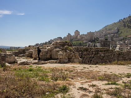
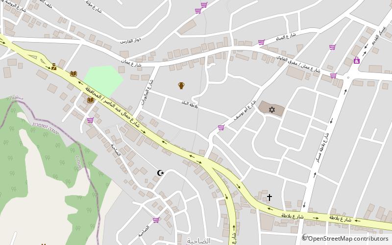
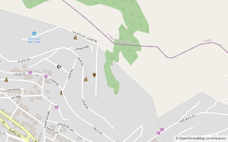
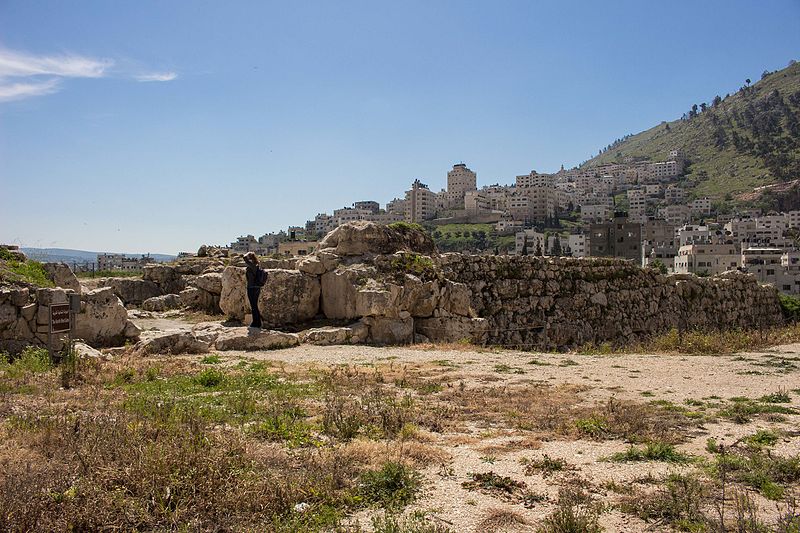
Tell Balata is the site of the remains of an ancient Canaanite and Israelite city, identified since 1913 with the Biblical city of Shechem. It is located in the West Bank. The built-up area of Balata, a Palestinian village and suburb of Nablus, covers about one-third of the tell, and overlooks a vast plain to the east. The Palestinian village of Salim is located 4.5 kilometers to the east. ()
Address
Nablus
ContactAdd
Social media
Add
Day trips
Tell Balata – popular in the area (distance from the attraction)
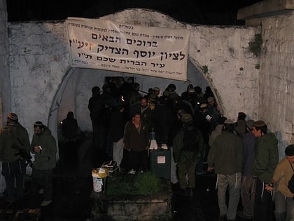
Nearby attractions include: Jacob's Well, Shechem, Joseph's Tomb, Mount Ebal.
Frequently Asked Questions (FAQ)
Which popular attractions are close to Tell Balata?
Nearby attractions include Shechem, Nablus (18 min walk), Balata al-Balad, Nablus (20 min walk), Joseph's Tomb, Nablus (21 min walk), Jacob's Well, Nablus (24 min walk).
How to get to Tell Balata by public transport?
The nearest stations to Tell Balata:
Bus
Bus
- شارع عصيرة المساكن (30 min walk)
- المجمع الشرقي (31 min walk)
