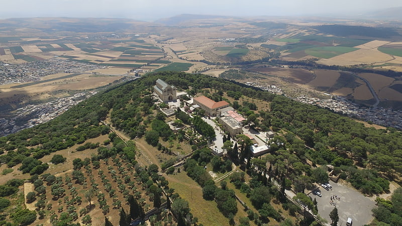
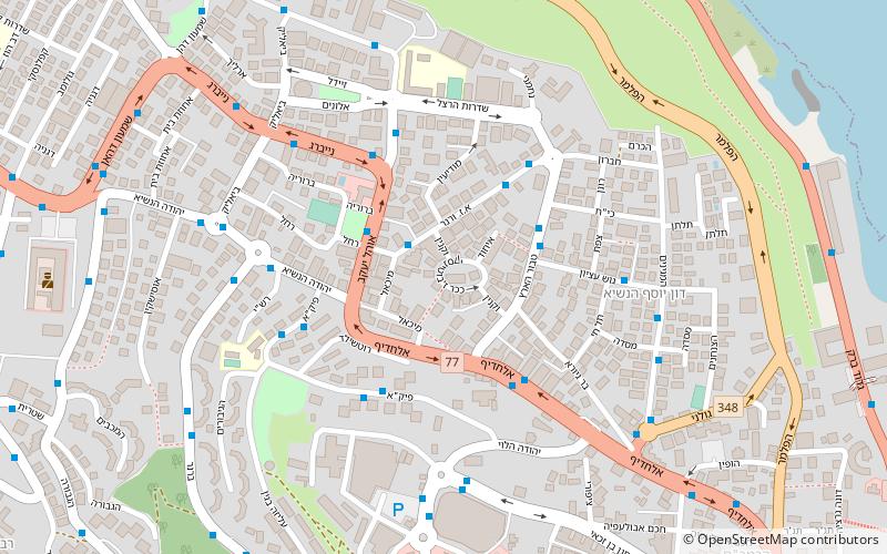
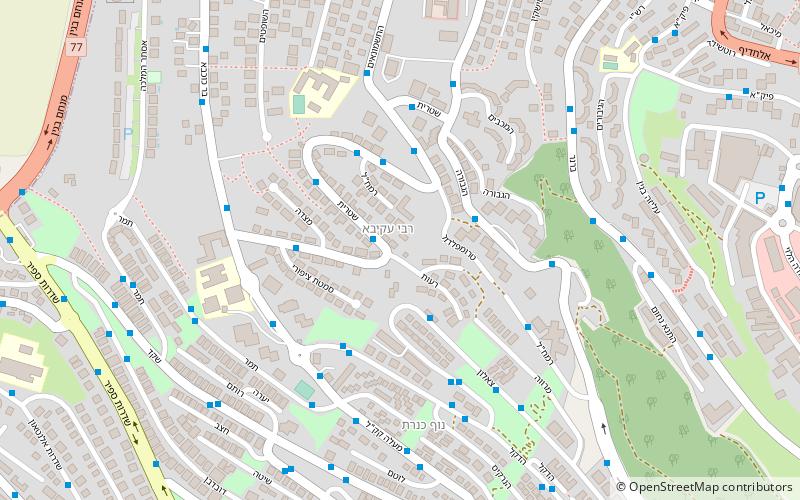
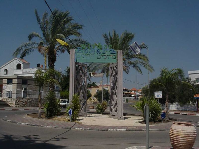
Kfar Kama


Facts and practical information
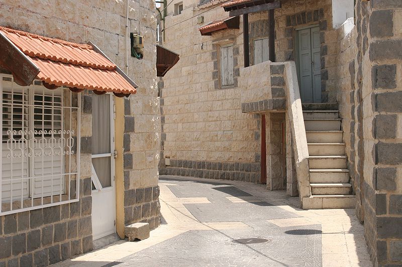
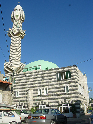
Located in the HaZafon region of Israel, Kfar Kama is a small town with a rich cultural heritage and stunning natural beauty. This Druze village is known for its picturesque surroundings, including rolling hills and lush greenery, making it a perfect destination for nature lovers and outdoor enthusiasts.
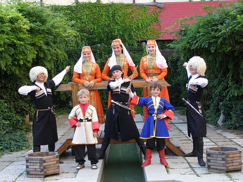
One of the main attractions in Kfar Kama is the Druze Heritage Center, where visitors can learn about the history and traditions of the Druze community. The center offers guided tours, interactive exhibits, and traditional Druze hospitality, providing a fascinating insight into this unique culture.
For those interested in culinary experiences, Kfar Kama is a paradise for food lovers. The town is renowned for its delicious Druze cuisine, which includes savory dishes such as stuffed grape leaves, kebabs, and baklava. Visitors can sample authentic Druze delicacies at local restaurants and cafes, immersing themselves in the flavors and aromas of traditional Druze cooking.
In addition to its cultural and culinary offerings, Kfar Kama is also a great base for exploring the surrounding natural attractions. The town is nestled in the foothills of the Lower Galilee, providing easy access to hiking trails, nature reserves, and scenic viewpoints. Outdoor activities such as hiking, birdwatching, and picnicking are popular pastimes for both locals and visitors alike.
HaZafon