Hurvat Amudim

Gallery (1)
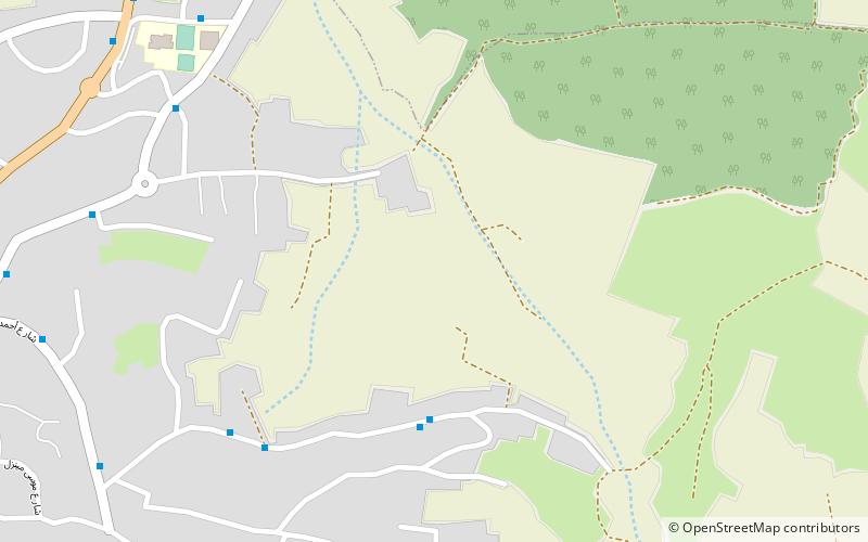
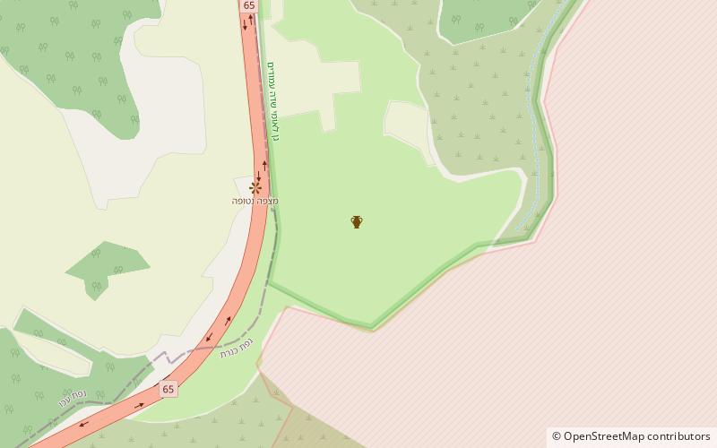
Map
Map
Facts and practical information
Hurvat Amudim or Sde Amudim was an ancient village, now an archaeological site, in Israel, located south-east of the Beit Netofa Valley, on the eastern side of Highway 65 between Golani Interchange and Kadarim Junction. ()
Location
HaZafon
ContactAdd
Social media
Add
Day trips