Tell ej-Judeideh, Beth Guvrin
#1 among attractions in Beth Guvrin

Facts and practical information
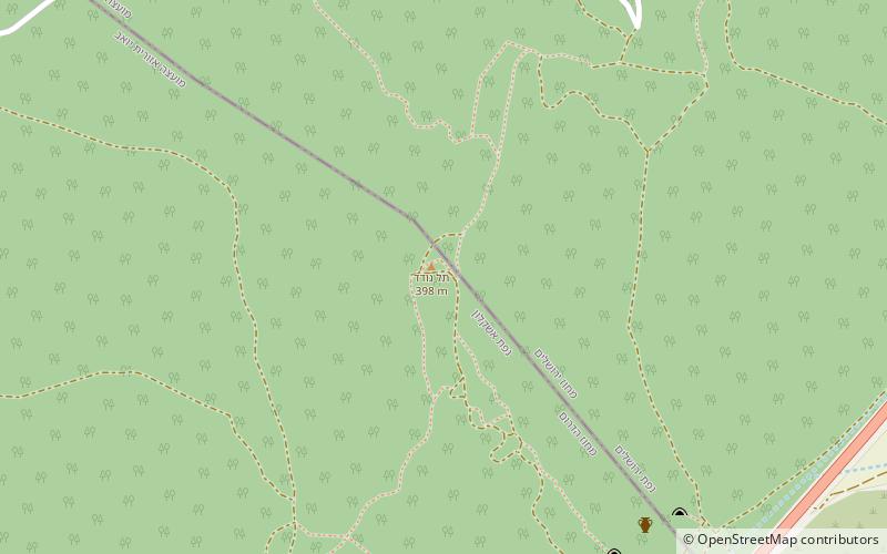
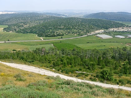
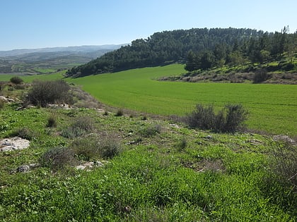
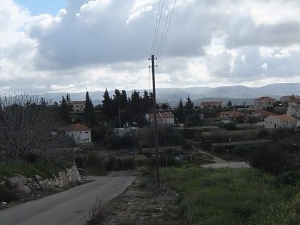
Tell ej-Judeideh is a tell in modern Israel. ()
Beth Guvrin Israel
Tell ej-Judeideh – popular in the area (distance from the attraction)
Nearby attractions include: Tel Lachish, Hurvat Itri, Tel Zayit, Valley of Elah.
 City, Archaeological site
Tel Lachish
151 min walk • Lachish was an ancient Canaanite and Israelite city in the Shephelah region of Israel, mentioned several times in the Hebrew Bible. The current tell by that name, known as Tel Lachish or Tell ed-Duweir, has been identified with the biblical Lachish.
 Archaeological site
Hurvat Itri
98 min walk • Horvat 'Ethri, Hebrew for "Ethri ruin", Arabic name: Umm Suweid, is a sprawling archaeological site that features the remains of a now partially restored Jewish village which dates back to the Second Temple period.
 Archaeological site
Tel Zayit
119 min walk • Tel Zayit is an archaeological tell in the Shephelah, or lowlands, of Israel, about 30 km east of Ashkelon.
 Nature, Natural attraction, Valley
Valley of Elah
119 min walk • The Valley of Elah or Ella Valley, called in Arabic: وادي السنط, Wadi es-Sunt, is a long, shallow valley in Israel and the West Bank best known as the place described in the Hebrew Bible where the Israelites were encamped when David fought Goliath.
 Town, Archaeological site
Adullam
145 min walk • Adullam is an ancient ruin, formerly known by the Arabic appellation ʿAīd el Mâ, built upon a hilltop overlooking the Elah Valley, straddling the Green Line between Israel and the West Bank. In the late 19th century, the town was still in ruins.
 Archaeological site
Khirbet Beit Lei
126 min walk • Khirbet Beit Lei or Beth Loya is an archaeological tell in the Judean lowlands of Israel. It is located about 5.5 km southeast of Tel Lachish and ten miles west-northwest of Hebron, on a hill 400 m above sea level.
 Archaeological site
Aderet
136 min walk • Aderet is a moshav in central Israel. Located in the Judean foothills in the Adullam region, south of Beit Shemesh, west of Gush Etzion and overlooking the Valley of Elah, it falls under the jurisdiction of Mateh Yehuda Regional Council.
 Archaeological site
Adullam-France Park
77 min walk • Adullam-France Park, also known as Parc de France-Adoulam, is a sprawling park of 50,000 dunams in the Central District of Israel, located south of Beit Shemesh.
 Archaeological site
Tel Burna, Beth Guvrin
56 min walk • Tel Burna is an Israeli archaeological site located in the Shephelah, along the banks of Nahal Guvrin, not far from modern-day Qiryat Gat.
 Nature, Natural attraction, Protected area
Maresha, Avdat
74 min walk • Tel Maresha is the tell of the biblical Iron Age city of Maresha, and of the subsequent, post-586 BCE Idumean city known by its Hellenised name Marisa, Arabised as Marissa.
 Nature, Natural attraction, Forest
Britannia Park
123 min walk • Britannia Park is a forest and recreation area in Israel, in the Judean lowland. The forest was planted by the Jewish National Fund starting in the 1950s, and with the financial aid of British Jews, after whom the park was named.