Hurvat Itri
Facts and practical information
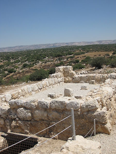
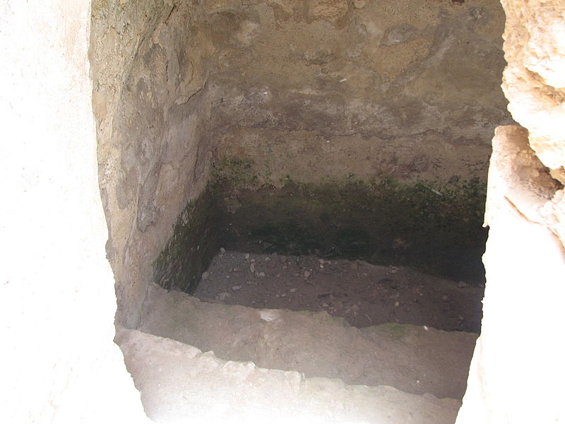
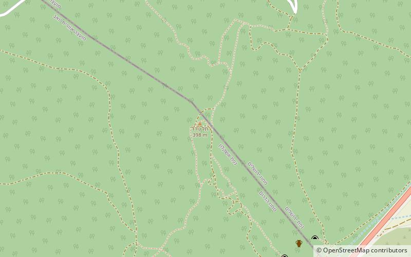
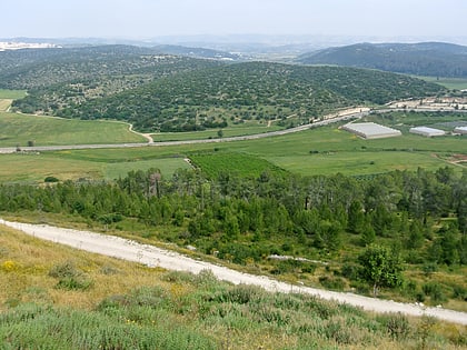
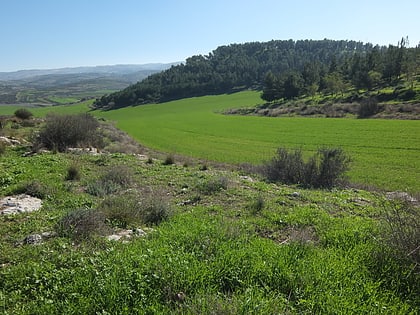
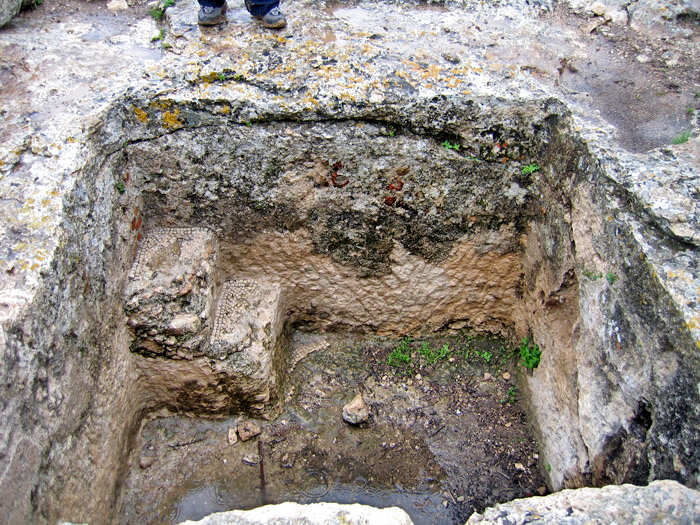
Horvat 'Ethri, Hebrew for "Ethri ruin", Arabic name: Umm Suweid, is a sprawling archaeological site that features the remains of a now partially restored Jewish village which dates back to the Second Temple period. The site sits upon an elevation of 406 metres above sea level, wherein are preserved an ancient synagogue, wine presses, cisterns, ritual baths and stone ossuaries, as well as an underground system of public hiding places. The site is located in modern-day Israel and is situated in the Judean Hills, southeast of Bet Shemesh, within the Adullam-France Park – c. 35 kilometers southwest of Jerusalem, 5 kilometers southeast of the Elah Valley and 8 kilometers northeast of Beth Guvrin. The site stands out among other archaeological sites because of its formidable defensive walls, with massive stones, which led Israeli archaeologist, Boaz Zissu, to believe that it may have been one of the fifty strongholds in Judea destroyed by Hadrian during the Bar Kokhba revolt. ()
Jerusalem
Hurvat Itri – popular in the area (distance from the attraction)
Nearby attractions include: Beit Jimal, Tell ej-Judeideh, Valley of Elah, Adullam.


