Et-Tell
#260 among destinations in Israel
Facts and practical information
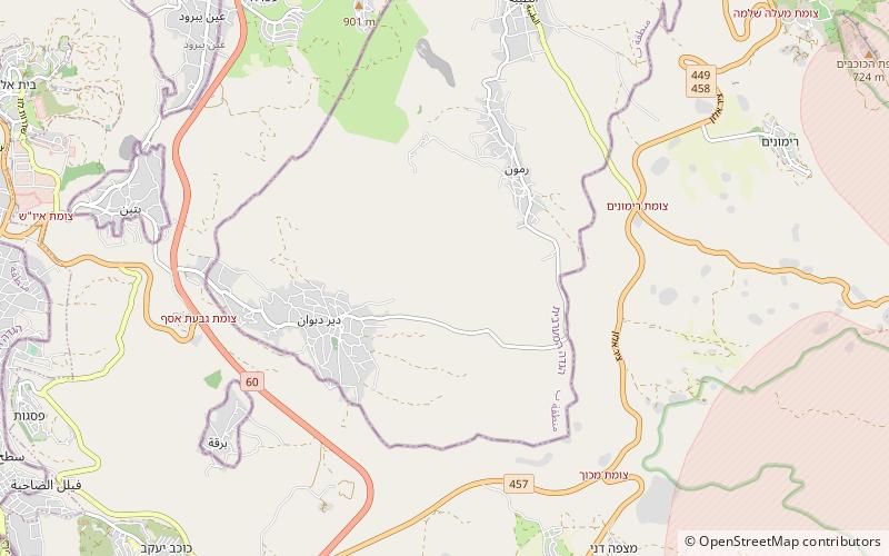
Et-Tell is an archaeological site in the West Bank, commonly identified with the biblical city of Ai. ()
West BankIsrael
Et-Tell – popular in the area (distance from the attraction)
Nearby attractions include: Tell en-Nasbeh, Khalil Sakakini Cultural Center, Al-Kasaba Theatre, Jamal Abdel Nasser Mosque.
 Archaeological site
Tell en-Nasbeh, Al-Bireh
121 min walk • Tell en-Nasbeh, likely the biblical city of Mizpah in Benjamin, is a 3.2 hectare tell located on a low plateau 12 kilometers northwest of Jerusalem in the West Bank.
 Museum
Khalil Sakakini Cultural Center, Ramallah
134 min walk • Nestled in the heart of Ramallah, the Khalil Sakakini Cultural Center stands as a beacon of art and heritage in this vibrant city. Established in honor of the Palestinian educator and writer Khalil Sakakini, this museum is a hub for cultural dialogue and a showcase for...
 Concerts and shows, Theater
Al-Kasaba Theatre, Ramallah
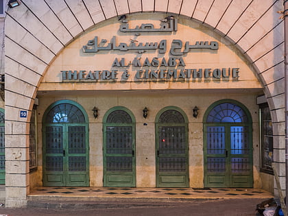
128 min walk • Nestled in the heart of Ramallah, Al-Kasaba Theatre stands as a beacon of cultural sophistication and artistic expression in the city. This premier theatre has been an integral part of the local community, offering a stage for both local and international performances...
 Mosque
Jamal Abdel Nasser Mosque, Ramallah
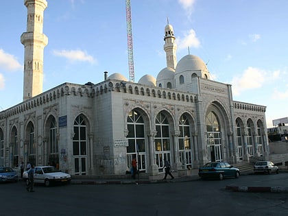
123 min walk • The Jamal Abdel Nasser Mosque is one of the key places of Muslim worship in the city of Ramallah, located in the central part of the West Bank, in Israel. This mosque, situated in the heart of a bustling metropolis, is an important point for the local Muslim community...
 Park
ParkSha'ar Binyamin Industrial Zone, Jerusalem
99 min walk • Sha'ar Binyamin is a light industrial park established in 1998 as a trade and services area in the Mateh Binyamin Regional Council, Israeli-occupied West Bank. It is located 2km north of Geva Binyamin on Route 60 and about 5 minutes drive from Pisgat Ze'ev in Jerusalem. The park covers an area of 606 dunams.
 31°54'18"N • 35°11'48"E
Dar Zahran Heritage Building, Ramallah
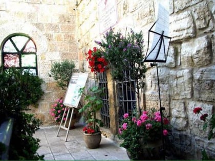
139 min walk • Historical place, Museum, History museum
 Mountain
Mount Ephraim, Beit El
108 min walk • Mount Ephraim, or alternately Mount of Ephraim, was the historical name for the central mountainous district of Israel once occupied by the Tribe of Ephraim, extending from Bethel to the plain of Jezreel. In Joshua's time, approximately sometime between the 18th century BCE and the 13th century BCE, these hills were densely wooded.
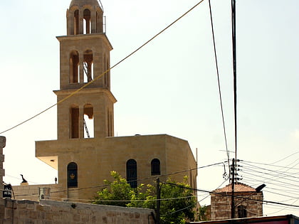 Church
Church of Transfiguration, Ramallah
139 min walk • The Church of Transfiguration in Ramallah was inaugurated in 1852. The Basilica is of Byzantine style. The church contains sacred utensils and old Icons, some of which date back to 1830 and were transferred to the church after the destruction of small churches in Ramallah as a result of persecution and several wars.
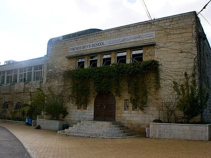 Universities and schools
Ramallah Friends Schools, Ramallah
135 min walk • The Ramallah Friends Schools are two private schools founded by Quakers in the city of Ramallah, in the West Bank. The Friends Girls' School was inaugurated in 1869; the construction of the Friends Boys' School began in 1901 and the school opened in 1918. The Schools were run by American Quakers.
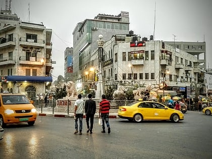 Square
Al-Manara Square, Ramallah
136 min walk • Al-Manara Square is a town square located in Ramallah, West Bank, Palestine.
 Neighbourhood
Neve Yaakov, Jerusalem
149 min walk • Neve Yaakov also Neve Ya'aqov, is an Israeli settlement and neighborhood located in East Jerusalem, north of Pisgat Ze'ev and south of al-Ram.