Sha'ar Binyamin Industrial Zone, Jerusalem

Gallery (1)
Map
Map
Facts and practical information
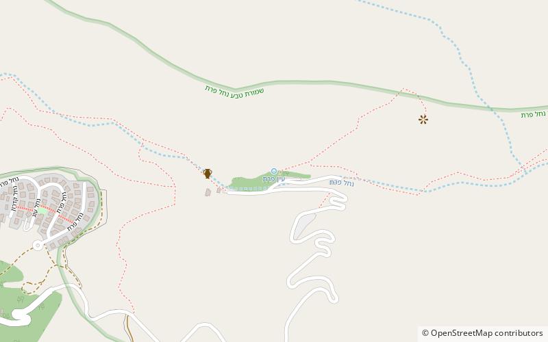
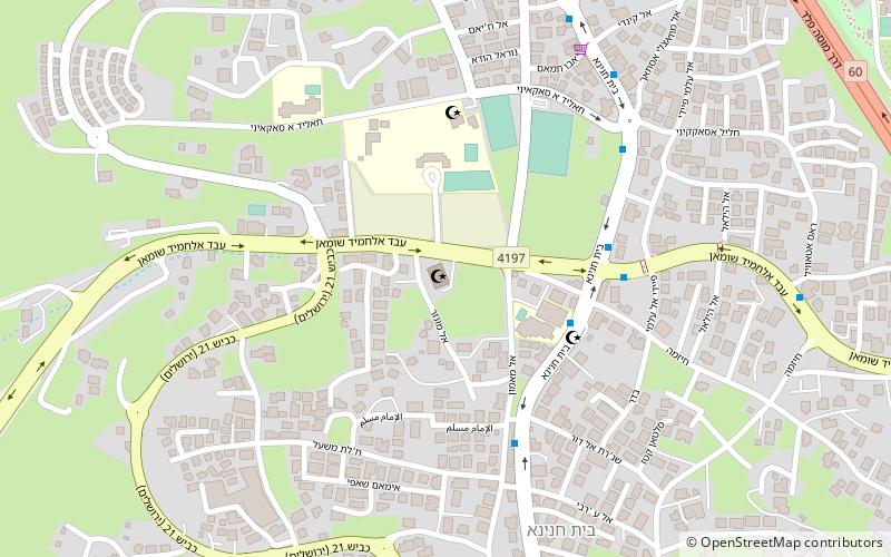
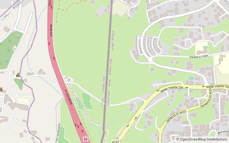
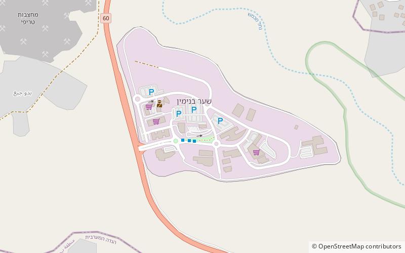
Sha'ar Binyamin is a light industrial park established in 1998 as a trade and services area in the Mateh Binyamin Regional Council, Israeli-occupied West Bank. It is located 2km north of Geva Binyamin on Route 60 and about 5 minutes drive from Pisgat Ze'ev in Jerusalem. The park covers an area of 606 dunams. ()
Elevation: 1946 ft a.s.l.Coordinates: 31°51'55"N, 35°15'44"E
Address
Jerusalem
ContactAdd
Social media
Add
Day trips