Sultan Ibrahim Ibn Adham Mosque, Jerusalem
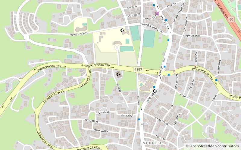
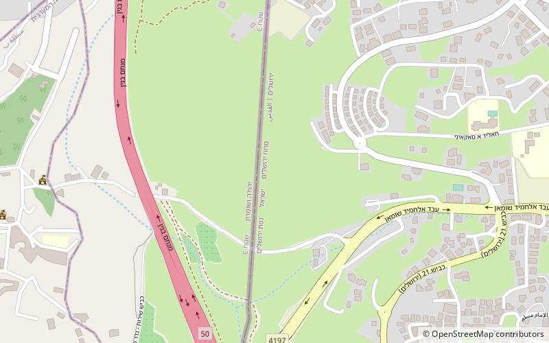
Map
Facts and practical information
The Sultan Ibrahim Ibn Adham Mosque is the largest mosque in the Palestinian town of Beit Hanina, located northeast of Jerusalem. It is named after a Muslim man who lived in the town and worked as collector of olive products. An engraving in a stone in front of the mosque reads, "this mosque was built by Suwaid Abul Hamayel in the year 336 after Hijrah". The area of the mosque was expanded in 1938 by the residents of Beit Hanina. In 1993, a boys primary school was built alongside the mosque. ()
Coordinates: 31°49'44"N, 35°13'32"E
Address
Jerusalem
ContactAdd
Social media
Add
Day trips
Sultan Ibrahim Ibn Adham Mosque – popular in the area (distance from the attraction)
Nearby attractions include: Gibeah, Beit Hanina, Neve Yaakov, Ramat Shlomo.
Frequently Asked Questions (FAQ)
Which popular attractions are close to Sultan Ibrahim Ibn Adham Mosque?
Nearby attractions include Gibeah, Jerusalem (13 min walk), Adasa, Jerusalem (14 min walk), Beit Hanina, Jerusalem (15 min walk).

