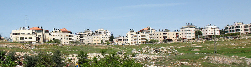
Shuafat, Jerusalem

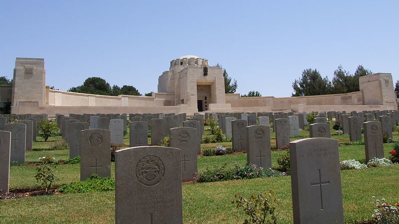
Gallery (4)
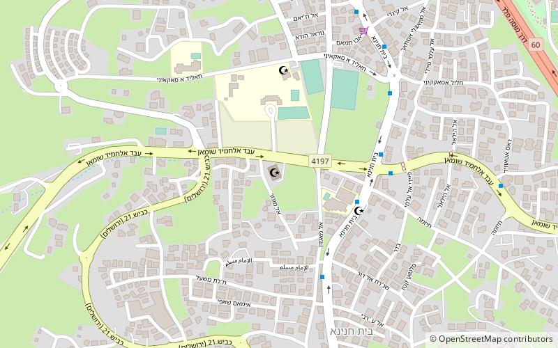
Map

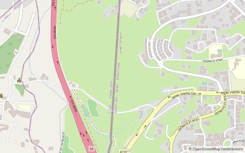
Map
Gallery
Facts and practical information
Address
Jerusalem
ContactAdd
Social media
Add
Getting there by public transportation
Public transportation stops near this location
- Bus
 Bus
Bus
- Calculate routeShufat Refugee Camp Bus Station 26 min walk
- Calculate routeמסוף הר חוצבים 37 min walk
Day trips


Frequently Asked Questions (FAQ)
Which popular attractions are close to Shuafat?
Nearby attractions include Gibeah, Jerusalem (15 min walk), Ras Khamis, Jerusalem (20 min walk), Givat HaMivtar, Jerusalem (21 min walk), Ramat Shlomo, Jerusalem (21 min walk).
How to get to Shuafat by public transport?
The nearest stations to Shuafat:
Bus
Bus
- Shufat Refugee Camp Bus Station (26 min walk)
- מסוף הר חוצבים (37 min walk)