Beit Hanina, Jerusalem
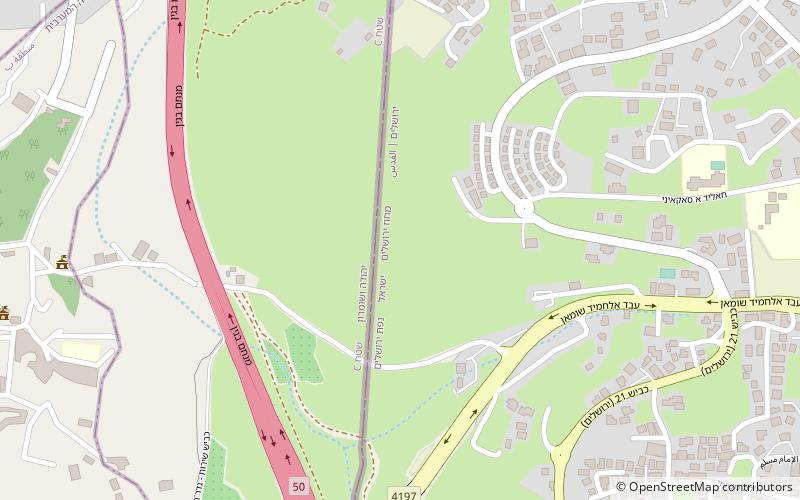
Map
Facts and practical information
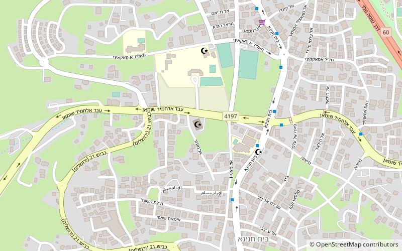
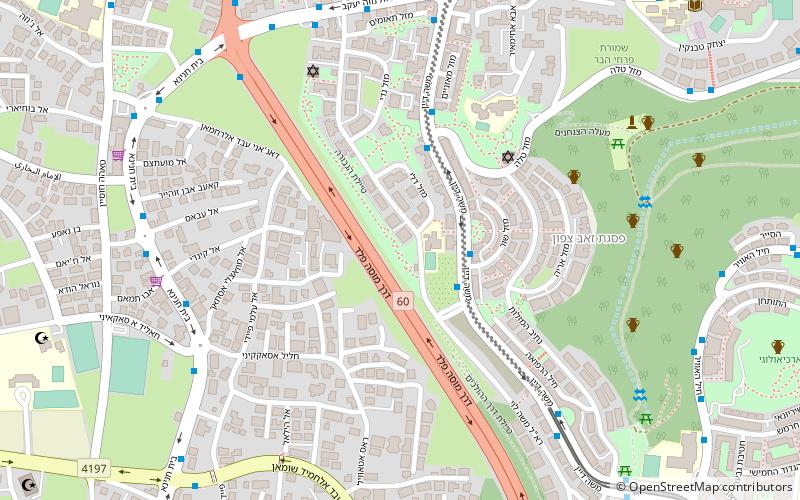
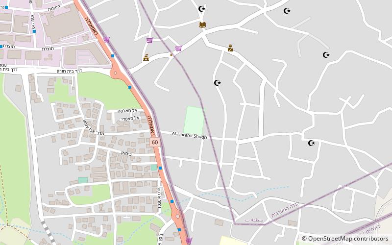
Beit Hanina is an Arab Palestinian neighborhood in East Jerusalem. It is on the road to Ramallah, eight kilometers north of central Jerusalem, at an elevation of 780 meters above sea level. Beit Hanina is bordered by Pisgat Ze'ev and Hizma to the east, Ramot, Ramat Shlomo and Shuafat to the south, Beit Iksa and Nabi Samwil to the west, and Bir Nabala, al-Jib, Kafr Aqab and ar-Ram to the north. ()
Address
Jerusalem
ContactAdd
Social media
Add
Day trips
Beit Hanina – popular in the area (distance from the attraction)
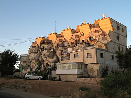
Nearby attractions include: Ramot Polin, Sultan Ibrahim Ibn Adham Mosque, Gibeah, Shuafat.
