Mount Azumaya, Joshin'etsukogen National Park

Gallery (1)
Map
Map
Facts and practical information
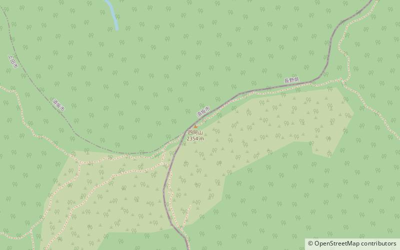
Mount Azumaya is one of the 100 Famous Japanese Mountains. The 2,354-metre-high peak lies on the border of Nagano Prefecture and Gunma Prefecture. There exist alternative spellings of the mountain's name, like: 吾妻山 and 吾嬬山 which is read as "Agatsuma-yama". In the village Tsumagoi, the mountain is spelled 吾妻山. ()
Address
Joshin'etsukogen National Park
ContactAdd
Social media
Add
Day trips


