Mount Sobo, Takachiho

Gallery (1)
Map
Map
Facts and practical information
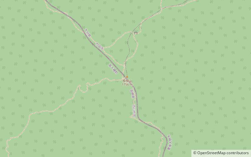
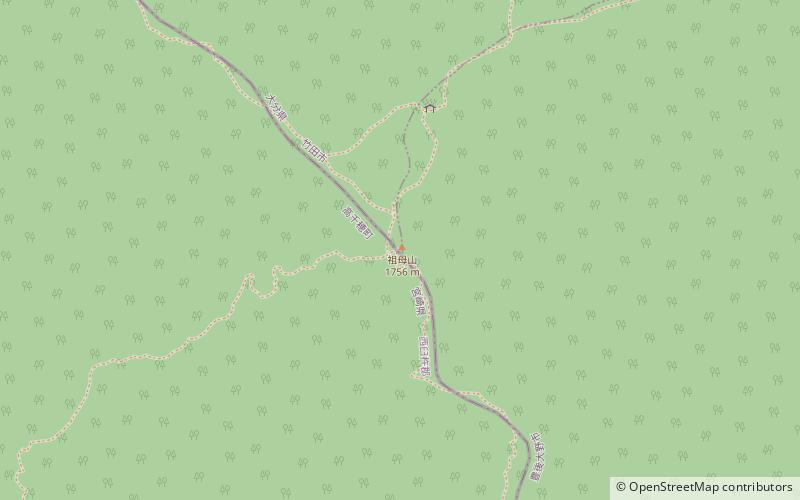
Mount Sobo is one of the 100 Famous Japanese Mountains. The 1,756-metre-high mountain lies on the border of Taketa and Bungo-ōno in Ōita Prefecture and Takachiho, Nishiusuki District in Miyazaki Prefecture. It is the highest peak in Miyazaki Prefecture. In Ōita Prefecture only the 1,791 m middle peak of Mount Kujū is higher. ()
Address
Takachiho
ContactAdd
Social media
Add
Day trips