Lake Miyagase, Tanzawa-Ōyama Quasi-National Park
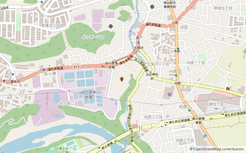
Map
Gallery
Facts and practical information
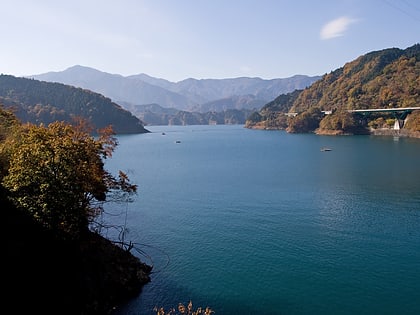
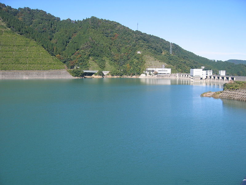
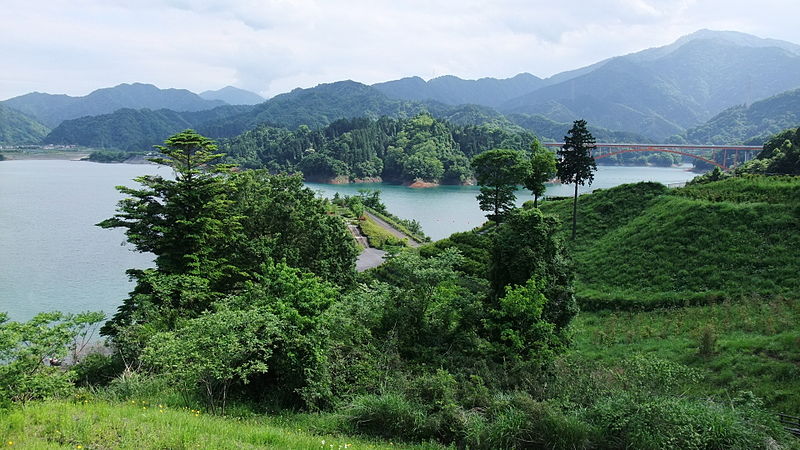
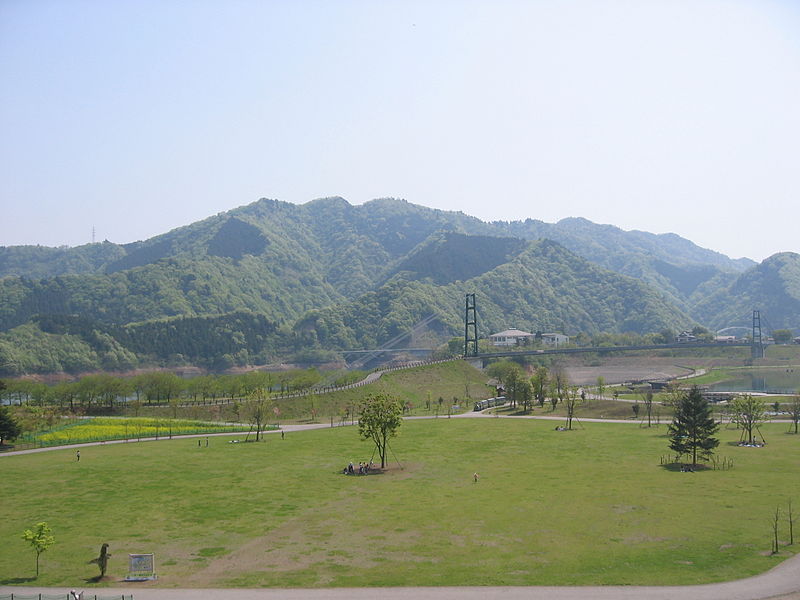
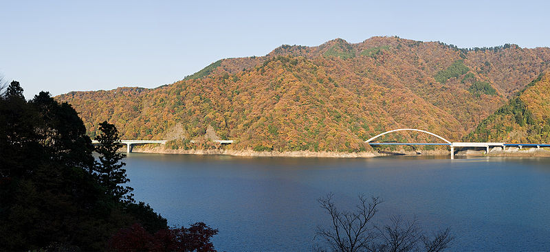
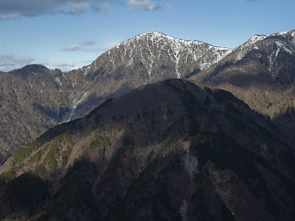
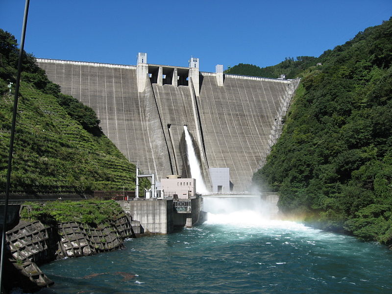
Lake Miyagase is a lake within the Aiko District of Kanagawa, Japan, located between Sagamihara and Atsugi. The lake offers views of Tanzawa Mountains, including Mount Hiru. The lake is a man-made reservoir and formed by the Miyagase Dam, and is a source of drinking water for Yokohama and Tokyo. ()
Local name: 宮ヶ瀬湖 Area: 1.78 mi²Length: 3.53 miWidth: 3510 ftElevation: 951 ft a.s.l.Coordinates: 35°31'43"N, 139°13'55"E
Address
清川 (qing chuan)Tanzawa-Ōyama Quasi-National Park
ContactAdd
Social media
Add
Day trips
Lake Miyagase – popular in the area (distance from the attraction)
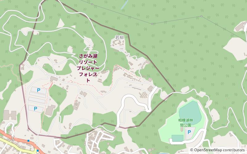
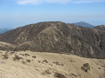
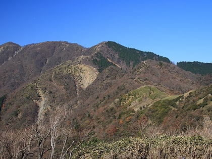
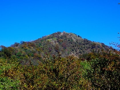
Nearby attractions include: Lake Sagami Pleasure Forest, Mount Tanzawa, Mount Shindainichi, Kawajiri Stone Age Site.
Frequently Asked Questions (FAQ)
How to get to Lake Miyagase by public transport?
The nearest stations to Lake Miyagase:
Trolleybus
Bus
Train
Trolleybus
- 遊覧船のりば • Lines: ロードトレイン ミーヤ号 (11 min walk)
- 水の郷交流館 • Lines: ロードトレイン ミーヤ号 (11 min walk)
Bus
- Miyagase Elementary School and Junior High School • Lines: 厚20 (11 min walk)
- 宮の平 • Lines: 厚20 (14 min walk)
Train
- ダム上 山頂駅 (32 min walk)
- ダム下 山麓駅 (35 min walk)
