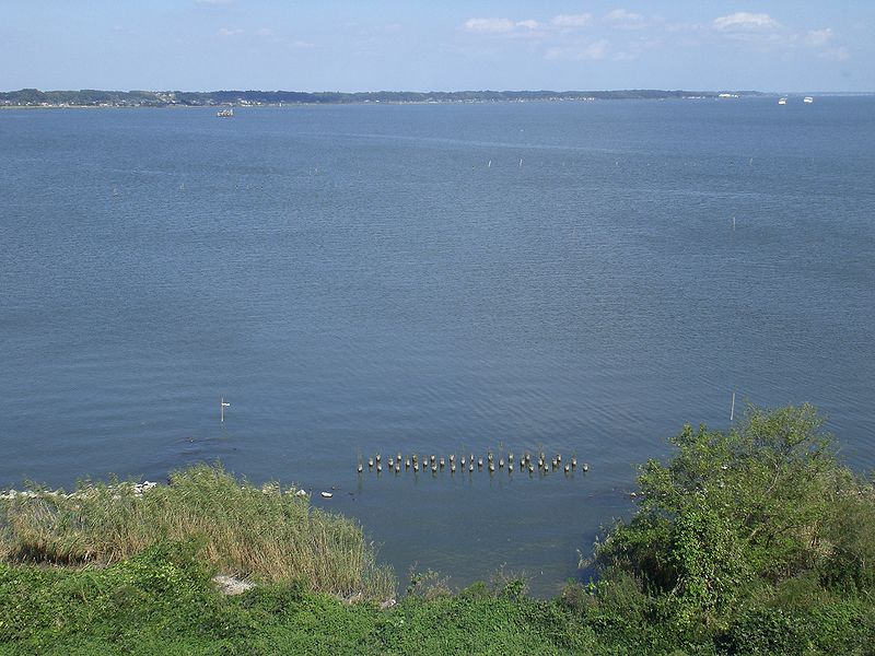
Lake Kasumigaura, Suigo-Tsukuba Quasi-National Park

Gallery (2)
Map
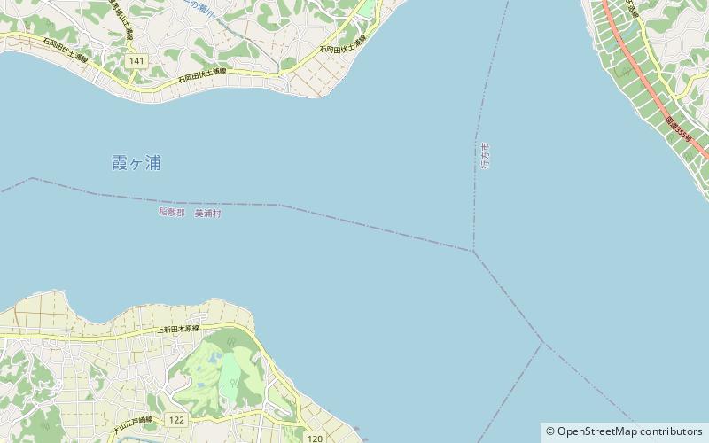
Map
Gallery
Facts and practical information
Local name: 霞ヶ浦 Area: 84.94 mi²Maximum depth: 23 ftElevation: 0 ft a.s.l.Coordinates: 36°2'32"N, 140°22'23"E
Address
Suigo-Tsukuba Quasi-National Park
ContactAdd
Social media
Add
Day trips