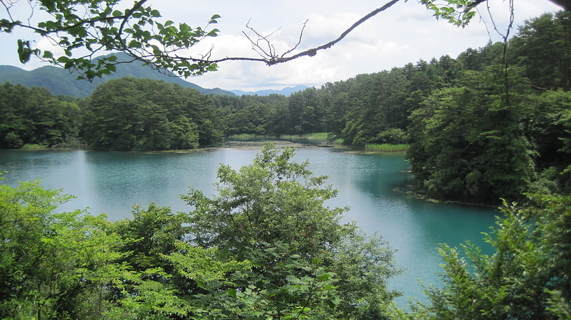
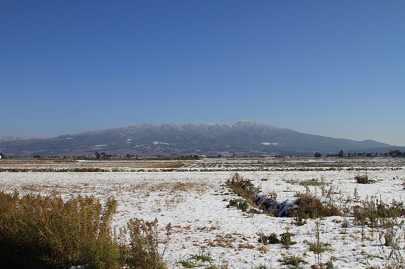
Mount Nekomadake, Bandai-Asahi National Park

Gallery (2)
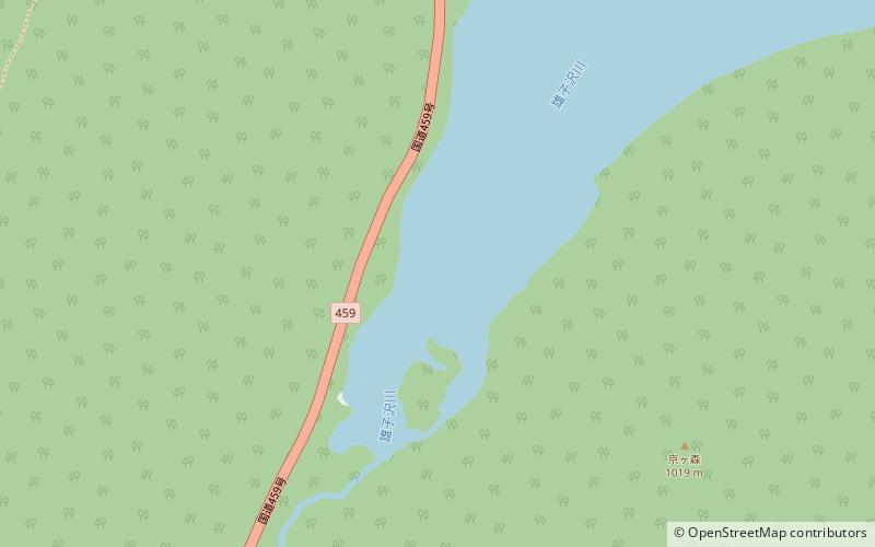
Map
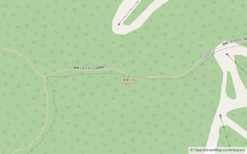
Map
Gallery
Facts and practical information
Mount Nekomadake is a stratovolcano located west of Mount Bandai, close to Bandai town and Kitashiobara village in the Fukushima Prefecture, Japan. It is 1,403.6 metres high, and close to Lake Inawashiro and Oguni-numa Pond. ()
Address
Bandai-Asahi National Park
ContactAdd
Social media
Add
Day trips