Oguni-numa Pond, Bandai-Asahi National Park
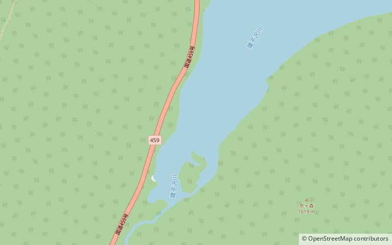
Map
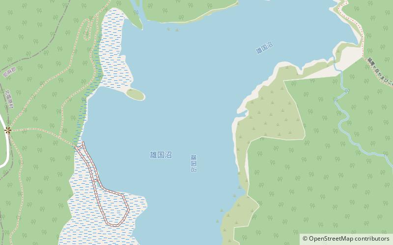
Map

Facts and practical information
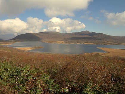
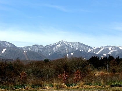
Oguni-numa Pond is a pond located at the western base of Mount Nekomadake in Fukushima Prefecture, Japan. The pond is situated on the remains of a crater and has a circumference of 4 km and an area of 45 hectares. It is considered a national monument. ()
Local name: 雄国沼 Area: 111.2 acres (0.1737 mi²)Elevation: 3560 ft a.s.l.Coordinates: 37°37'14"N, 140°0'14"E
Address
Bandai-Asahi National Park
ContactAdd
Social media
Add
Day trips
Oguni-numa Pond – popular in the area (distance from the attraction)
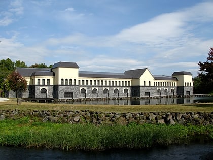
Nearby attractions include: Goshiki-numa, Lake Hibara, Enichi-ji, Morohashi Museum of Modern Art.
