Tokyo Photoelectric Meridian Circle, Mitaka
Map

Map

Facts and practical information
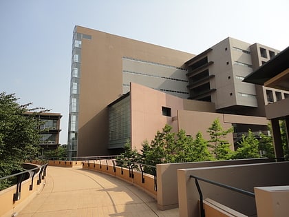
The Tokyo Photoelectric Meridian Circle is a meridian circle that observes and records the positions of stars and planets, which are then reported in the PMC catalogs. ()
Coordinates: 35°40'30"N, 139°32'6"E
Address
三鷹 (san ying)Mitaka
ContactAdd
Social media
Add
Day trips
Tokyo Photoelectric Meridian Circle – popular in the area (distance from the attraction)
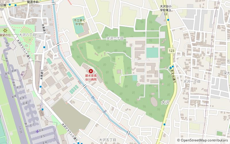
Nearby attractions include: Ajinomoto Stadium, Jindai-ji, Jindai Botanical Garden, Jindaiji Castle.
Frequently Asked Questions (FAQ)
Which popular attractions are close to Tokyo Photoelectric Meridian Circle?
Nearby attractions include National Astronomical Observatory of Japan, Mitaka (5 min walk), Nogawa Park, Mitaka (21 min walk), Tokyo University of Foreign Studies, Fuchu (22 min walk), Jindai Botanical Garden, Chōfu (22 min walk).
How to get to Tokyo Photoelectric Meridian Circle by public transport?
The nearest stations to Tokyo Photoelectric Meridian Circle:
Bus
Train
Bus
- 天文台前 • Lines: 三鷹台ルート, 武91, 鷹51, 鷹58 (7 min walk)
- 大沢橋・羽沢小学校前 • Lines: 三鷹台ルート, 武91, 鷹51, 鷹58 (8 min walk)
Train
- Tama (26 min walk)
- Tobitakyu (31 min walk)


