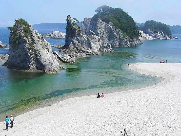
Sanriku Fukkō National Park, Ōfunato
Gallery (1)
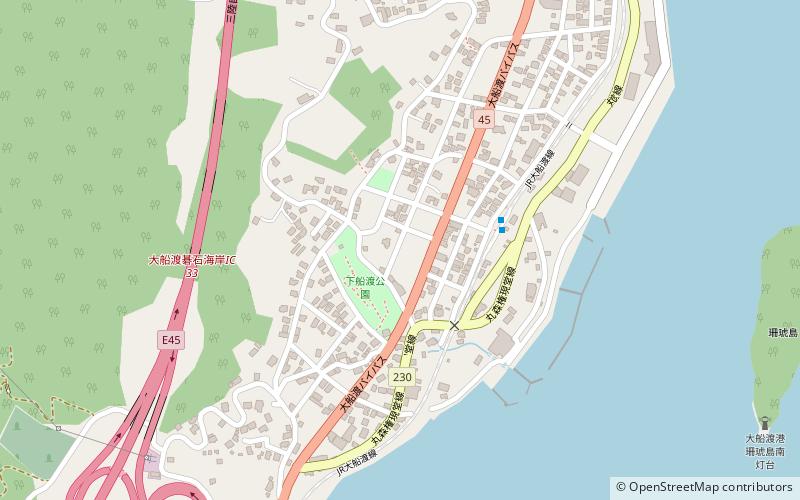
Map
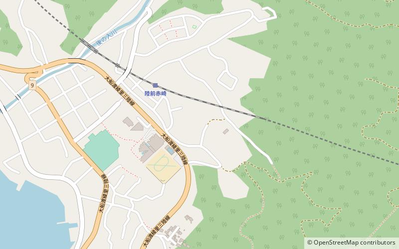
Map
Facts and practical information
Sanriku Fukkō National Park is a national park extending along the Sanriku Coast of Japan from Hachinohe in Aomori Prefecture through Iwate Prefecture to Kesennuma in Miyagi Prefecture. The national park was created on 24 May 2013 and covers a land area of 28,537 hectares ()
Local name: 三陸復興国立公園 Established: 24 May 2013 (12 years ago)Area: 211.56 mi²Elevation: 30 ft a.s.l.Coordinates: 39°4'19"N, 141°43'1"E
Address
Ōfunato
ContactAdd
Social media
Add
Day trips