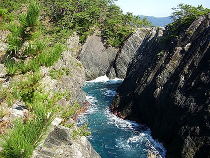
Sangojima, Ōfunato
Map
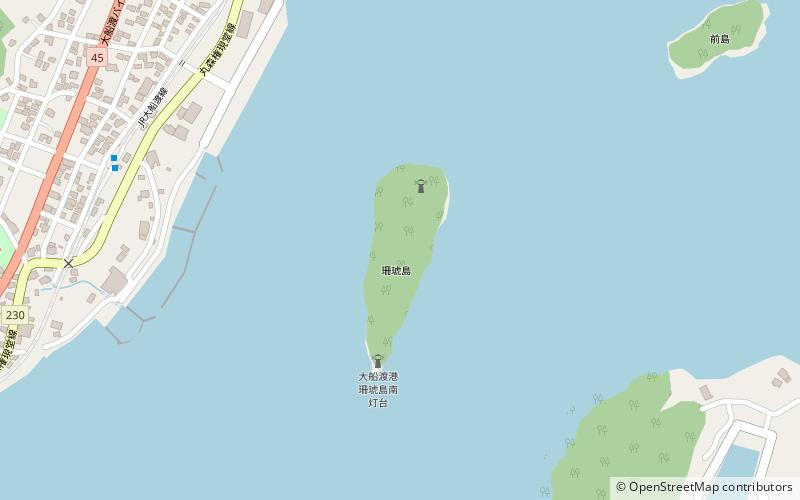
Map

Facts and practical information
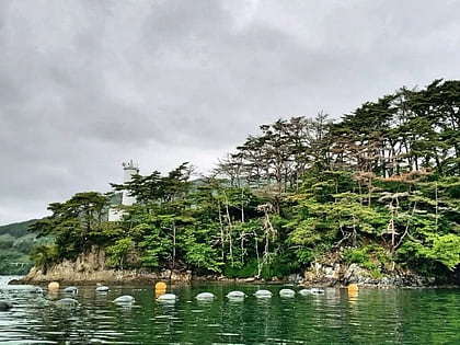
Sangojima in an uninhabited islet located in the center of Ōfunato Bay, on the Sanriku Coast of Japan. It has been designated a National Place of Scenic Beauty and Natural Monument since 1946. ()
Coordinates: 39°2'13"N, 141°43'38"E
Address
Ōfunato
ContactAdd
Social media
Add
Day trips
Sangojima – popular in the area (distance from the attraction)
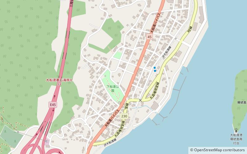
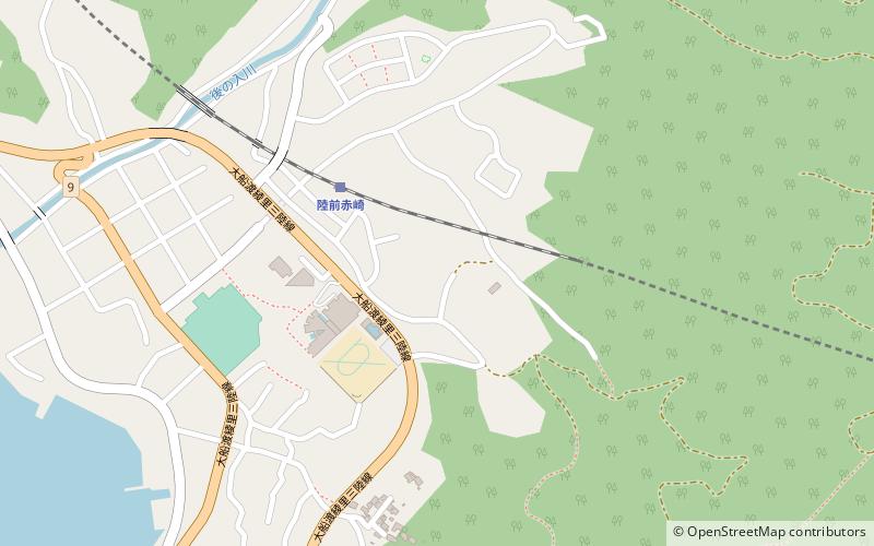
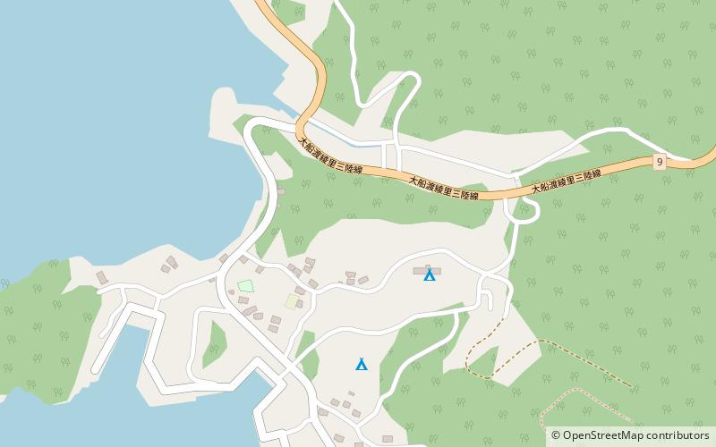
Nearby attractions include: Sanriku Fukkō National Park, Shimofunato Shell Mound, Ōhora Shell Mound, Takonoura Shell Mound.
Frequently Asked Questions (FAQ)
Which popular attractions are close to Sangojima?
Nearby attractions include Shimofunato Shell Mound, Sanriku Fukkō National Park (12 min walk), Takonoura Shell Mound, Sanriku Fukkō National Park (18 min walk).
