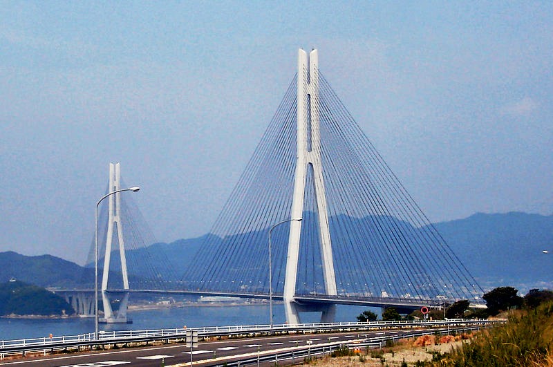
Tatara Bridge, Setonaikai National Park

Gallery (2)
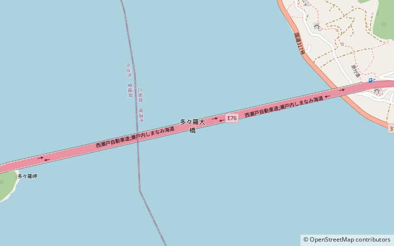
Map
Map
Gallery
Facts and practical information
The Tatara Bridge is a cable-stayed bridge that is part of the Nishiseto Expressway, commonly known as the Shimanami Kaidō しまなみ海道. The bridge has a center span of 890 metres. As of 2010 it has the fourth longest main span of any cable-stayed bridge after the Sutong Bridge. The expressway is a series of roads and bridges that is one of the three routes of the Honshū-Shikoku Bridge Project connecting the islands of Honshū and Shikoku across the Seto Inland Sea in Japan. The Kurushima-Kaikyō Bridge is on the same route. ()
Address
Setonaikai National Park
ContactAdd
Social media
Add
Getting there by public transportation
Public transportation stops near this location
- Bus
 Bus
Bus
- Calculate routeOmishima Bus Stop 22 min walk
Day trips


Frequently Asked Questions (FAQ)
How to get to Tatara Bridge by public transport?
The nearest stations to Tatara Bridge:
Bus
Bus
- Omishima Bus Stop (22 min walk)