Ōkunoshima


Facts and practical information
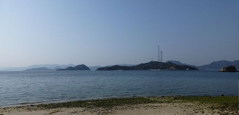
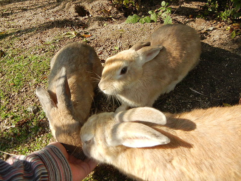
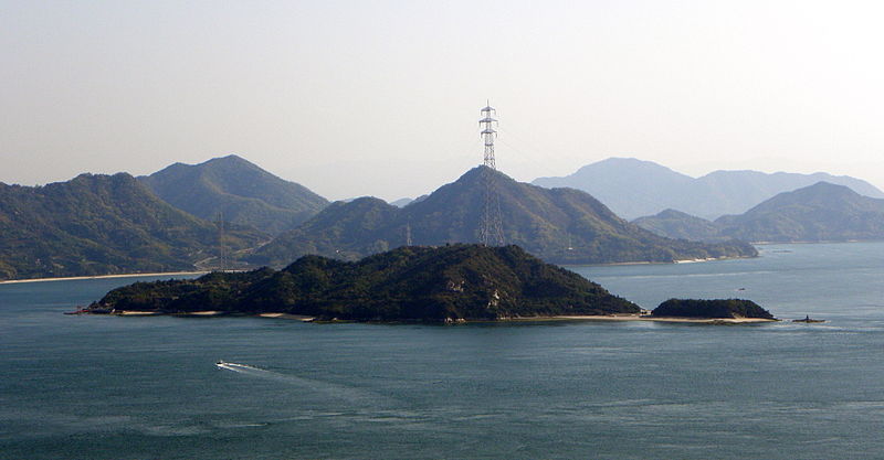
Ōkunoshima, also known as Rabbit Island, is a charming and unique destination located in the Ehime region of Japan. This small island is famous for its population of friendly and adorable wild rabbits, which roam freely and delight visitors with their cute and playful antics. The island's lush greenery, sandy beaches, and tranquil atmosphere make it a perfect escape from the hustle and bustle of city life.
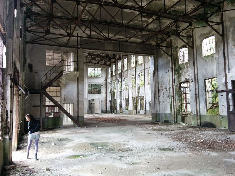
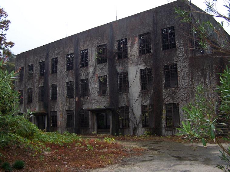
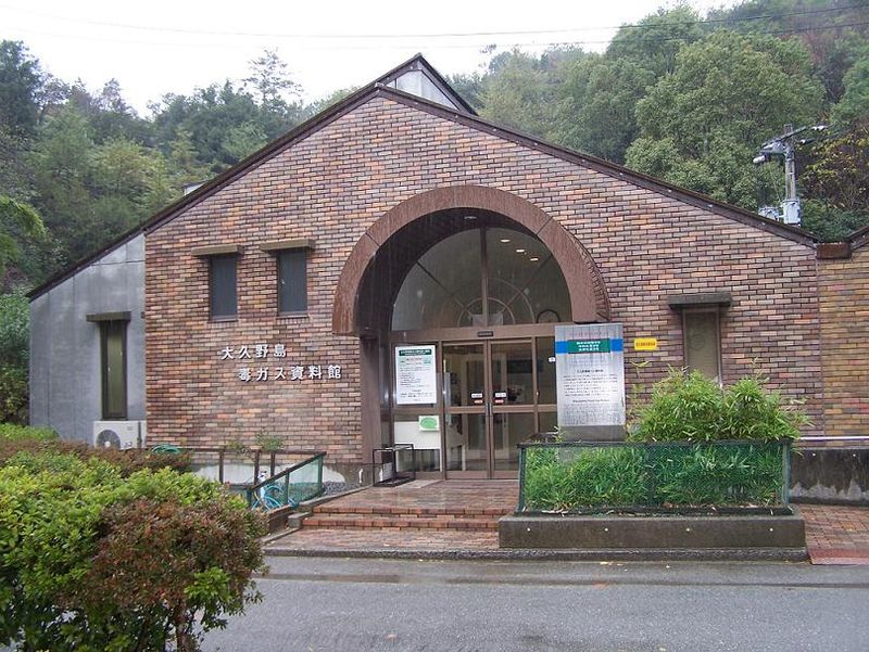
One of the main attractions on Ōkunoshima is the Ōkunoshima Poison Gas Museum, which offers a fascinating and somber look into the island's dark history. During World War II, the island was used as a secret chemical weapons production site, and the museum provides insight into this troubling period in Japan's past. Visitors can learn about the island's role in the war and the impact of chemical warfare while exploring the museum's exhibits and displays.
For outdoor enthusiasts, Ōkunoshima offers plenty of opportunities for hiking, cycling, and wildlife watching. The island's scenic trails wind through forests and meadows, providing stunning views of the surrounding landscape and ample opportunities for birdwatching. Visitors can also relax on the island's beaches, go for a swim in the crystal-clear waters, or simply enjoy a peaceful picnic surrounded by nature.
Ehime