Tsurumi Tsubasa Bridge, Yokohama
Map
Map

Facts and practical information
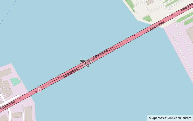
The Tsurumi Tsubasa Bridge is a cable-stayed bridge located at the western side of Yokohama Bay and is part of an expressway across the Port of Yokohama, Kanagawa prefecture in Japan. The bridge has a main span of 510 metres and two side spans of 255 metres. ()
Local name: 鶴見つばさ橋 Completed: 1994 (32 years ago)Length: 3350 ftCoordinates: 35°28'20"N, 139°41'60"E
Address
鶴見区 大黒ふ頭/扇島Yokohama
ContactAdd
Social media
Add
Day trips
Tsurumi Tsubasa Bridge – popular in the area (distance from the attraction)
Nearby attractions include: Yamashita Park, Marine Tower, Japan Coast Guard Museum Yokohama, Gundam Factory Yokohama.
Frequently Asked Questions (FAQ)
Which popular attractions are close to Tsurumi Tsubasa Bridge?
Nearby attractions include Tsurumi-ku, Kawasaki (21 min walk), Daikoku Pier, Yokohama (24 min walk).
How to get to Tsurumi Tsubasa Bridge by public transport?
The nearest stations to Tsurumi Tsubasa Bridge:
Train
Train
- Umi-Shibaura (25 min walk)


