Chiryū, Kariya
#3 among attractions in Kariya


Facts and practical information
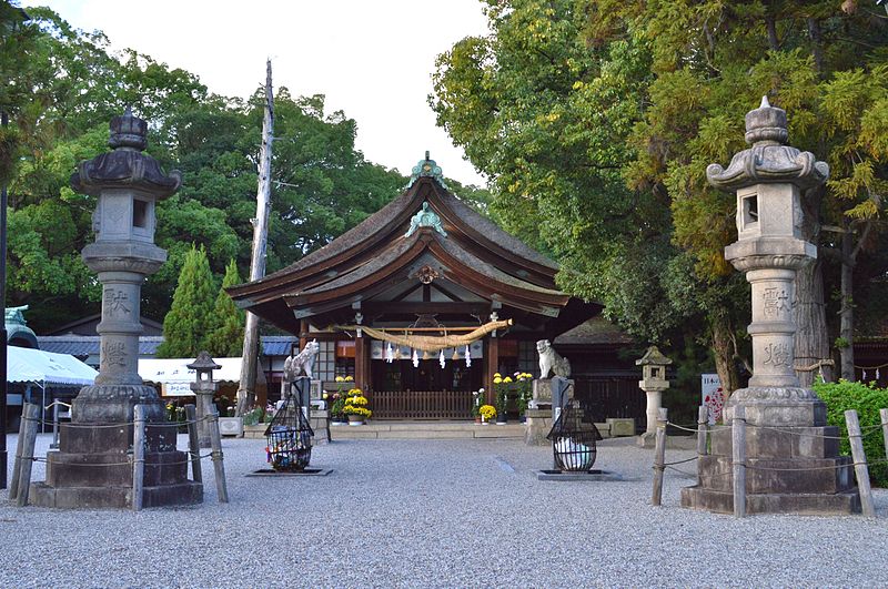
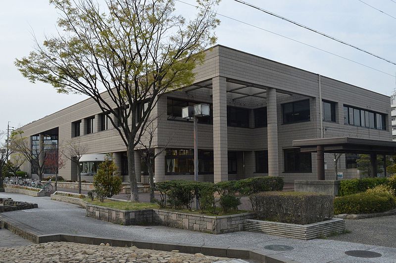
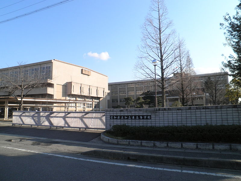
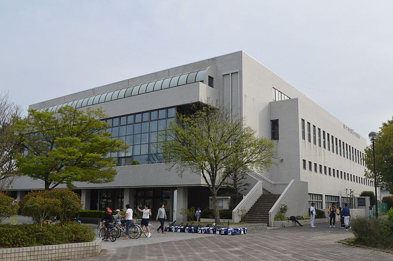
Chiryū is a city in central Aichi Prefecture, Japan. As of 1 October 2019, the city had an estimated population of 71,992 in 32,579 households, and a population density of 4,414 persons per km². The total area of the city was 16.31 square kilometres. ()
Kariya plan & book
Unleash the traveler in you — discover the cheapest flight deals, find the perfect hotel or hostel nearby, and search for the best car rental prices. Travel at your own pace to discover new places and enjoy your journey.
Chiryū – popular in the area (distance from the attraction)
Nearby attractions include: Irimi Shell Midden, Futago Kofun, Fujita Health University, Kitano temple ruins.
4.5 miWArchaeological siteIrimi Shell Midden, Kariya
114 min walk • The Irimi shell midden is an archaeological site containing a Jōmon period shell midden located in the Ogawa neighborhood of the town of Higashiura, Aichi in the Tōkai region of Japan. The site was designated as a National Historic Site in 1953.
5.8 miSEArchaeological siteFutago Kofun, Anjō
148 min walk • The Futago Kofun is a Kofun period burial mound, located in the Sakurai neighborhood of the city of Anjō, Aichi in the Tōkai region of Japan. The tumulus was designated a National Historic Site of Japan in 1927, and its borders were expanded in 1955.
5.4 miNWUniversities and schoolsFujita Health University, Kariya
139 min walk • Fujita Health University is a private university at Toyoake, Aichi, Japan. The predecessor of the school was founded in 1964, and it was chartered as a university in 1968. Fujita Health University College is a junior college program.
5.4 miEArchaeological site, Buddhist architectureKitano temple ruins, Okazaki
137 min walk • The Kitano temple ruins is an archaeological site with the ruins of an Asuka period Buddhist temple located in what is now the city of Okazaki, Aichi, Japan.
5.3 miSWTown, AreaHigashiura, Kariya
136 min walk • Higashiura is a town located in Chita District, Aichi Prefecture, Japan. On 1 October 2019, the town had an estimated population of 49,010 in 20,563 households, and a population density of 1,574 per square kilometre.
5 miWCity, AreaŌbu, Kariya
129 min walk • Ōbu is a city located in Aichi Prefecture, Japan. As of 1 October 2019, the city had an estimated population of 92,179 in 39,382 households, and a population density of 2,739 persons per km². The total area of the city is 33.66 square kilometres.
4.2 miNWCity, AreaToyoake, Nagoya
109 min walk • Toyoake is a city located in Aichi Prefecture, Japan. As of 1 October 2019, the city had an estimated population of 69,525 in 30,185 households, and a population density of 2,994 persons per km². The total area of the city is 23.22 square kilometres.
4.8 miSE 6.2 miSWCityTakahama
157 min walk • For those interested in history and culture, Takahama has several historic sites and landmarks to explore. The Takahama Castle Ruins offer a glimpse into the city's feudal past, with its ancient stone walls and well-preserved structures.
2.4 miNWSport, Sport venueWing Arena Kariya, Kariya
61 min walk • Wing Arena Kariya is an arena in Kariya, Aichi, Japan. It is located in Kariya City General Athletic Park.
3.6 miWSport, Sport venue, Arenas and stadiumsKariya Stadium, Kariya
93 min walk • Kariya Stadium is a baseball stadium in the city of Kariya, Aichi Prefecture, Japan. It was also used as an Association football stadium until 1994. It hosted the 1950 Emperor's Cup final game between All Kwangaku and Keio University, which was played there on June 4, 1950.