Fujita Health University, Kariya
#2 among attractions in Kariya

Facts and practical information
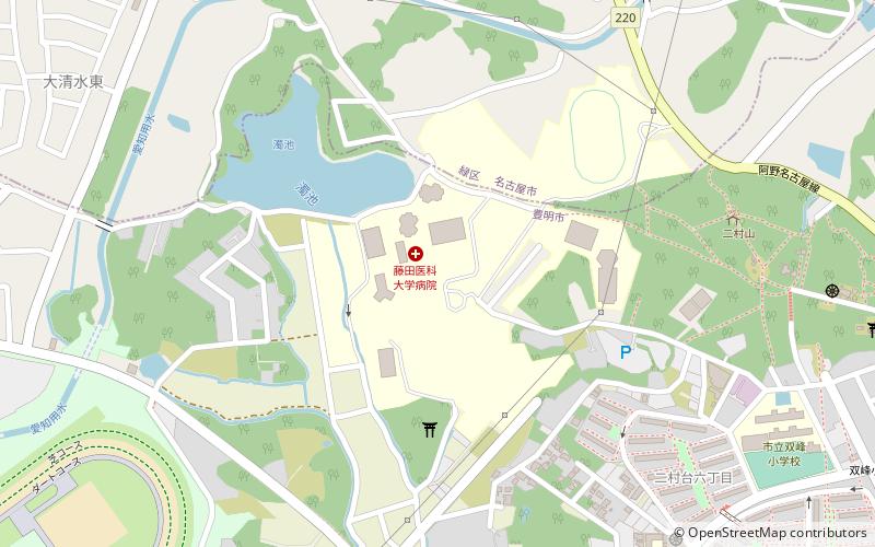
Fujita Health University is a private university at Toyoake, Aichi, Japan. The predecessor of the school was founded in 1964, and it was chartered as a university in 1968. ()
Fujita Health University – popular in the area (distance from the attraction)
Nearby attractions include: Ōguruwa Shell Midden, Ōtaka Castle, Nippon Gaishi Hall, Yagoto Cemetery.
 Archaeological site
Ōguruwa Shell Midden, Nagoya
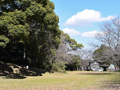
124 min walk • The Ōguruwa Shell Midden stands as a testament to the rich history of Nagoya, Japan. This archaeological site, located in the Minato Ward of the city, provides invaluable insights into the Jōmon period, which dates from around 14,000 BC to 300 BC.
 Forts and castles
Ōtaka Castle, Nagoya
95 min walk • Ōtaka Castle was a Sengoku period flatland-style Japanese castle located in what is now part of Midori Ward of the city of Nagoya, Aichi in the Tōkai region of Japan. The ruins, together with that of the detached fortresses of Marune-toride and Washizu-toride have been collectively protected as a National Historic Site since 1944.
 Music venue, Nightlife, Sport venue
Nippon Gaishi Hall, Nagoya
121 min walk • Nagoya Civic General Gymnasium, formerly Nagoya Rainbow Hall, is an indoor sports arena located in Nagoya, Japan. From April 1, 2007, its name was changed to Nippon Gaishi Hall, to reflect the sponsorship of the NGK Insulators.
 Cemetery
Yagoto Cemetery, Nagoya
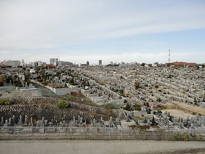
126 min walk • Yagoto Cemetery is one of the largest cemeteries in Nagoya, central Japan. It is located in the neighbourhood of Yagoto. The cemetery, which was established in 1915 during the Taishō era, is civil in the sense that any resident of Nagoya, regardless of his/her religious orientation, can apply for a space there.
 Area
AreaTenpaku-ku, Nagoya
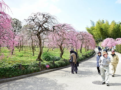
98 min walk • Tenpaku is one of the 16 wards of the city of Nagoya in Aichi Prefecture, Japan. As of 1 October 2019, the ward had an estimated population of 164,522, and a population density of 7,624 persons per km². The total area was 21.58 square kilometres.
 Park
ParkNagoya Agricultural Center, Nagoya
78 min walk • The Nagoya Agricultural Center is located in Tenpaku Ward in the city of Nagoya, central Japan. The centre is free of charge, featuring a cafe and a shops that sells organic food such as vegetables and health foods. It also sells plants. It features glasshouses and a model farm with livestock.
 Museum
Araki Syuseikan Museum, Nagoya
75 min walk • The Araki Shuseikan Museum is an art museum located in Tenpaku-ku, Nagoya, central Japan. The collection of Araki Minoru is housed here. The collection includes Japanese ceramics such as Sue wares, teabowls and roof tiles. Archaeological findings at old kilns are also shown.
 Temple
Kasadera Kannon, Nagoya
105 min walk • Kasadera Kannon, also known as Ryūfuku-ji is a Buddhist temple located in Minami-ku, Nagoya in central Japan. It is a part of the Owari Thirty-three Kannon.
 City, Area
Ōbu, Kariya
121 min walk • Ōbu is a city located in Aichi Prefecture, Japan. As of 1 October 2019, the city had an estimated population of 92,179 in 39,382 households, and a population density of 2,739 persons per km². The total area of the city is 33.66 square kilometres.
 City, Area
Miyoshi, Toyota
112 min walk • Miyoshi is a city located in central Aichi Prefecture, Japan. As of 1 October 2019, the city had an estimated population of 62,782 in 24,260 households, and a population density of 1,950 persons per km².
 Town, Area
Tōgō, Toyota
84 min walk • Tōgō is a town located in Aichi District, Aichi Prefecture, Japan. As of 1 October 2019, the town had an estimated population of 44,109 in 17,792 households, and a population density of 2,446 persons per km².
