
Nirasaki Travel Guide
Facts and practical information
Nirasaki, located in the Yamanashi region of Japan, is a charming city known for its picturesque landscapes, rich history, and vibrant culture. Situated at the foot of the Southern Japanese Alps, Nirasaki is surrounded by lush greenery, rolling hills, and stunning mountain views, making it a paradise for nature enthusiasts and outdoor adventurers.
One of the city's most popular attractions is the Nirasaki Winery, where visitors can take guided tours of the vineyards, participate in wine tastings, and learn about the art of winemaking. The winery's beautiful grounds and panoramic views of the surrounding countryside make it a must-visit destination for wine lovers and those seeking a relaxing retreat.
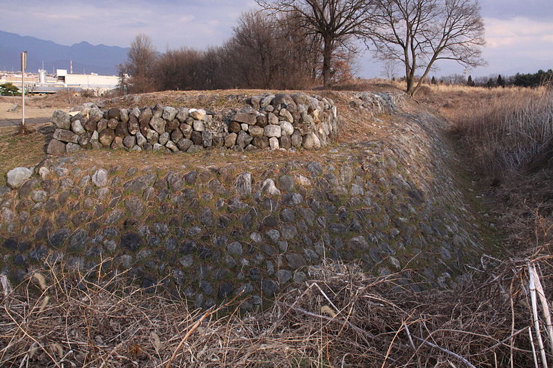
For history buffs, Nirasaki offers a glimpse into Japan's past at the Nirasaki City Museum of History and Folklore. The museum showcases a diverse collection of artifacts, exhibits, and interactive displays that highlight the region's cultural heritage, traditional crafts, and local customs. Visitors can immerse themselves in the fascinating history of Nirasaki and gain a deeper understanding of its significance within the Yamanashi region.
In addition to its natural beauty and historical landmarks, Nirasaki is also home to a variety of vibrant festivals and events throughout the year. One of the most notable is the Nirasaki Omatsuri, a lively summer festival featuring traditional performances, street food vendors, and colorful parades that celebrate the city's unique heritage and community spirit.
Yamanashi
Best Time To Visit Nirasaki
Learn when is the best time to travel to Nirasaki weather-wise and what to expect in each season.