Nakasu, Fukuoka
Map

Map

Facts and practical information
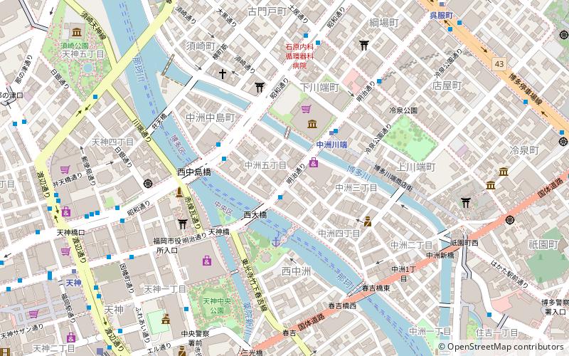
Nakasu is the red-light district which exists between the sandbank of the Naka River and the Hakata River in Fukuoka City, Fukuoka Prefecture, Japan. It is named after a popular, but very short-lived, entertainment quarter of Edo, which existed in the late 18th century. The name "Nakasu" can be translated as "the island in the middle" as Nakasu is an island between two rivers. ()
Address
Fukuoka
ContactAdd
Social media
Add
Day trips
Nakasu – popular in the area (distance from the attraction)
Nearby attractions include: Tenjin Chikagai, Kushida Shrine, Fukuoka Kokusai Center, Fukuoka Prefectural Museum of Art.
Frequently Asked Questions (FAQ)
Which popular attractions are close to Nakasu?
Nearby attractions include Fukuoka Asian Art Museum, Fukuoka (3 min walk), Fu gang shi wen xue guan, Fukuoka (5 min walk), Hakata-za, Fukuoka (5 min walk), Former Prefectural Hall & Official Guest House, Fukuoka (7 min walk).
How to get to Nakasu by public transport?
The nearest stations to Nakasu:
Metro
Bus
Train
Ferry
Metro
- Nakasu-Kawabata • Lines: H, K (3 min walk)
- Tenjin-Minami • Lines: N (10 min walk)
Bus
- Nakasu • Lines: 23B, 26A, 急行 (4 min walk)
- Hakata Gocho • Lines: 23B, 26A (7 min walk)
Train
- Fukuoka (12 min walk)
- Yakuin (21 min walk)
Ferry
- 博多埠頭 • Lines: 福岡市営渡船志賀島航路, 福岡市営渡船玄界島航路 (21 min walk)


