Takisato Dam, Ashibetsu
Map

Map

Facts and practical information
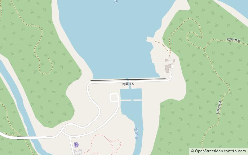
The Takisato Dam is a dam on the Sorachi River in west central Hokkaidō, Japan. ()
Local name: 滝里ダム Opened: 1999 (27 years ago)Length: 1460 ftHeight: 164 ftReservoir area: 2.63 mi²Elevation: 469 ft a.s.l.Coordinates: 43°26'38"N, 142°17'17"E
Address
Ashibetsu
ContactAdd
Social media
Add
