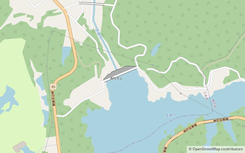
Dondo Dam, Kobe
Map

Map

Facts and practical information
Dondo Dam is a dam in Miki, Hyōgo Prefecture, Japan. Catching the waters of the Sijimi and Yamada rivers, the catchment becomes known as Tsukuhara Lake. ()
Local name: つくはら湖 Opened: 1989 (37 years ago)Length: 853 ftHeight: 235 ftReservoir area: 0.41 mi²Coordinates: 34°46'24"N, 135°4'19"E
Address
Kobe
ContactAdd
Social media
Add
Day trips
Dondo Dam – popular in the area (distance from the attraction)
Nearby attractions include: Gayain, Ōmiya Hachiman Shrine, An'yō-in, Taisan-ji.
Frequently Asked Questions (FAQ)
How to get to Dondo Dam by public transport?
The nearest stations to Dondo Dam:
Bus
Bus
- 三津田 • Lines: Bus (23 min walk)


