Mount Sogaku, Chichibu-Tama-Kai National Park

Gallery (4)
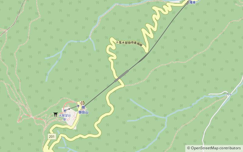
Map

Map
Gallery
Facts and practical information
Mt. Sodake is a 756-meter-high mountain in the Okutama mountain range on the boundary between Ome City, Tokyo and Okutama Town, Nishitama County.
Coordinates: 35°46'19"N, 139°4'30"E
Address
奥多摩 (ao duo mo)Chichibu-Tama-Kai National Park
ContactAdd
Social media
Add
Day trips