Jiu chu shan, Chichibu-Tama-Kai National Park
Map
Map

Facts and practical information
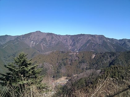
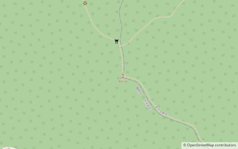
Mt. Usuki is a 842.1-meter-high mountain in the Okutama mountain range, on the boundary of Hinohara Village and Akiruno City, Nishitama County, Tokyo.
Together with Ichimichiyama and Kariyoriyama, they are known as the three mountains of Togura. At the top of the mountain is Usuki Shrine, dedicated to the god of sericulture.
From Mt. Takao, the trail continues northward to Mt. Takao, Joyama, Kobutsu Pass, Mt. Keishin, Mt. Dosho, Meio Pass, Mt. Jinba, Wada Pass, Daigomaru, Mt. Ichimichi, and Mt. Usuki.
Coordinates: 35°42'23"N, 139°9'54"E
Address
檜原 (gui yuan)Chichibu-Tama-Kai National Park
ContactAdd
Social media
Add
Day trips
Jiu chu shan – popular in the area (distance from the attraction)
Nearby attractions include: Mount Mitake, Hachiōji Castle, Mount Jinba, Hinode.


