

Tatebayashi Travel Guide
Facts and practical information
Located in the Gunma region of Japan, Tatebayashi is a captivating city that offers a unique blend of history, natural beauty, and cultural experiences. With its rich heritage and picturesque surroundings, this hidden gem is a must-visit destination for travelers seeking an authentic Japanese experience.
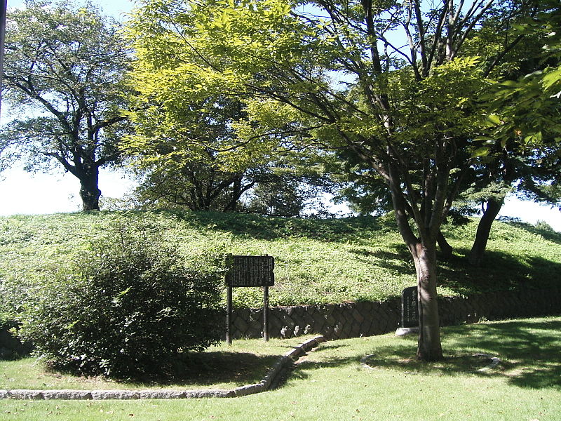
One of the city's main attractions is the stunning Tatebayashi Castle, which dates back to the 16th century. As you explore its ancient walls and towering turrets, you'll be transported back in time to the era of feudal Japan. The castle's well-preserved architecture and exquisite gardens provide a glimpse into the country's rich samurai history.
For nature enthusiasts, Tatebayashi is a paradise waiting to be discovered. The city is surrounded by lush greenery and offers various hiking trails that showcase Japan's breathtaking landscapes. One of the most popular trails is the Akagi Nature Park, where you can immerse yourself in the tranquil beauty of the Akagi Mountain Range and enjoy panoramic views of the city below.
To delve deeper into Tatebayashi's cultural heritage, a visit to the Shodenzan Kangiin Temple is a must. This Buddhist temple, founded in the 9th century, is known for its stunning architecture and beautiful gardens. Take a moment to admire the intricate woodwork and tranquil atmosphere as you explore the temple grounds.
Food lovers will also find delight in Tatebayashi's culinary offerings. The city is famous for its soba noodles, a traditional Japanese dish made from buckwheat flour. Visit a local restaurant to savor the authentic flavors of this regional specialty and experience the artistry behind the preparation of these delicious noodles.
In addition to its historical and natural attractions, Tatebayashi also hosts various festivals throughout the year. One of the most vibrant celebrations is the Tatebayashi Hina Doll Festival, held annually from February to March. During this time, the city comes alive with colorful displays of traditional hina dolls, music performances, and street food stalls, creating a festive atmosphere that delights both locals and visitors alike.
Tatebayashi Attractions - What to See and Explore
Tatebayashi offers many attractions and places to visit. Here are the most important ones: Tatebayashi Castle, Kanto Junior College. Below you will find a complete list of places worth visiting.
Best Time To Visit Tatebayashi
Learn when is the best time to travel to Tatebayashi weather-wise and what to expect in each season.

