Okuno Dam, Itō
Map

Map

Facts and practical information
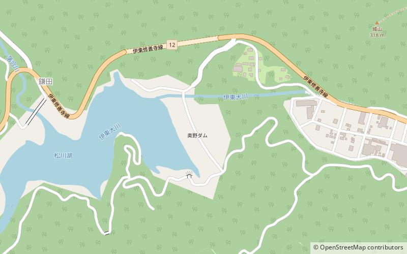
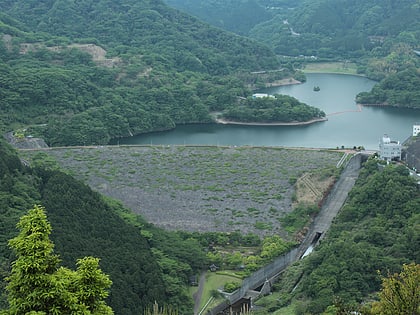
Okuno Dam is a multi-purpose dam on the Itō-Ōkawa River, located in Itō, Shizuoka, Japan. ()
Local name: 奥野ダム Opened: 1989 (37 years ago)Length: 1060 ftHeight: 207 ftReservoir area: 76.6 acres (0.1197 mi²)Coordinates: 34°56'11"N, 139°4'12"E
Address
Itō
ContactAdd
Social media
Add
Day trips
Okuno Dam – popular in the area (distance from the attraction)
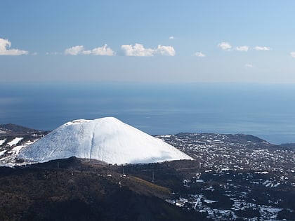
Nearby attractions include: Mount Ōmuro, Mount Amagi, Izu-Tobu.


