Matsudo Shrine, Matsudo
Map
Map

Facts and practical information
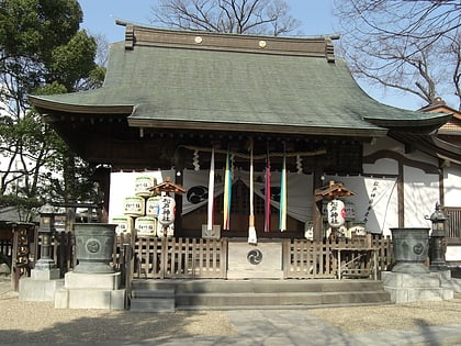
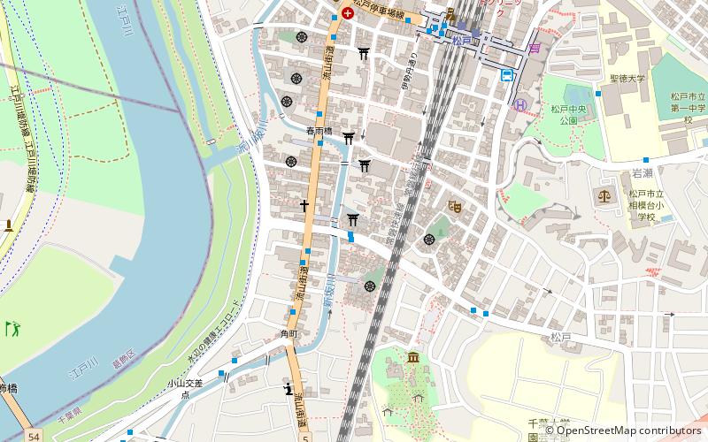
Matsudo Shrine is located at 1457 Matsudo, Matsudo City, Chiba Prefecture. It was built in the 3rd year of the Kan'ei Era, and is considered to be the chief Shinto shrine of Matsudo City. The shrine's crest is a three-left cross. The shrine was formerly a village shrine.
Coordinates: 35°46'50"N, 139°53'53"E
Day trips
Matsudo Shrine – popular in the area (distance from the attraction)
Nearby attractions include: Colton Plaza, Shimōsa Kokubun-ji, Shibamata Taishakuten, Horinouchi Shell Mound.
Frequently Asked Questions (FAQ)
Which popular attractions are close to Matsudo Shrine?
Nearby attractions include Seitoku University Junior College, Matsudo (12 min walk), Seitoku University, Matsudo (12 min walk), Matsudo City Hall, Matsudo (15 min walk).
How to get to Matsudo Shrine by public transport?
The nearest stations to Matsudo Shrine:
Bus
Train
Bus
- Matsudo Post Office • Lines: 松11, 松31 (3 min walk)
- Harusamebashi • Lines: 松11, 松31 (4 min walk)
Train
- Matsudo (8 min walk)
- Kamihongo (31 min walk)
