Mount Kuma, Daisetsuzan National Park

Map
Facts and practical information
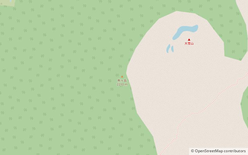
Mount Kuma, or Mount Kumaga, is a stratovolcano located in the Daisetsuzan Volcanic Group of the Ishikari Mountains, Hokkaidō, Japan. ()
Elevation: 7251 ftProminence: 446 ftCoordinates: 43°40'14"N, 142°51'43"E
Address
Daisetsuzan National Park
ContactAdd
Social media
Add
Day trips
Mount Kuma – popular in the area (distance from the attraction)
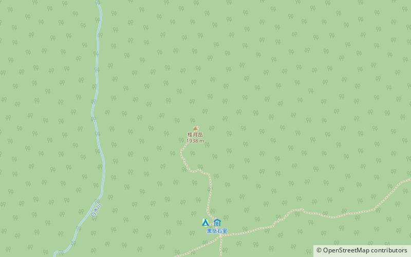
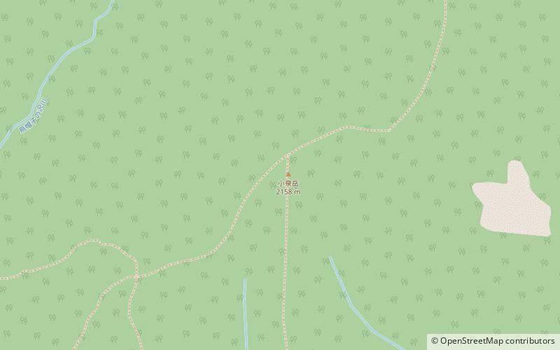
Nearby attractions include: Mount Hakuun, Mount Midori, Mount Keigetsu, Mount Koizumi.
Frequently Asked Questions (FAQ)
Which popular attractions are close to Mount Kuma?
Nearby attractions include Mount Mamiya, Daisetsuzan National Park (15 min walk), Asahi-dake, Daisetsuzan National Park (16 min walk).


