Shorenji Dam, Nabari

Gallery (1)
Map
Map
Facts and practical information
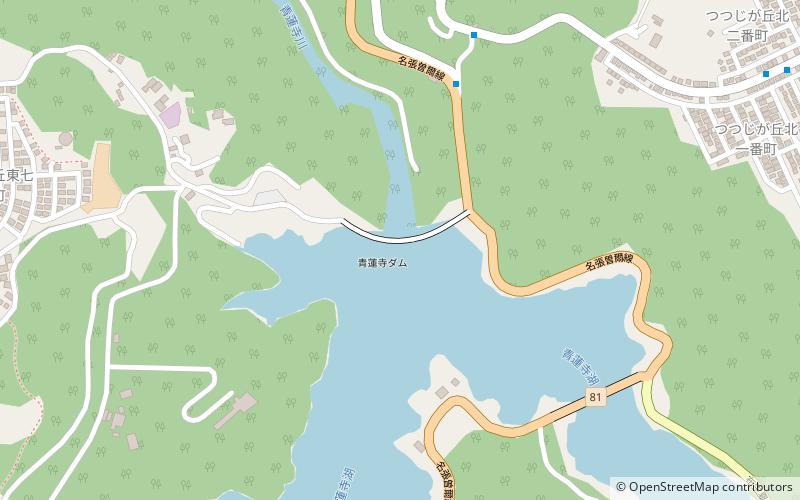
Shorenji Dam is a dam in Nabari, Mie Prefecture, Japan, completed in 1970. It is located about 2 miles west of Hinachi Dam, which is actually on a different branch of the Nabari River. ()
Local name: 青蓮寺ダム Opened: 1970 (56 years ago)Length: 902 ftHeight: 269 ftCoordinates: 34°36'15"N, 136°7'12"E
Address
Nabari
ContactAdd
Social media
Add
Day trips


