Myōgi-Arafune-Saku Kōgen Quasi-National Park
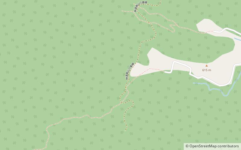
Map

Map

Facts and practical information
Myōgi-Arafune-Saku Kōgen Quasi-National Park is a Quasi-National Park on the borders of Gunma and Nagano Prefectures, Japan. Established in 1969, the central feature of the park are Mounts Arafune and Myōgi. ()
Local name: 妙義荒船佐久高原国定公園 Established: 10 April 1969 (56 years ago)Area: 50.67 mi²Elevation: 2283 ft a.s.l.Coordinates: 36°12'0"N, 138°41'60"E
Location
Gunma
ContactAdd
Social media
Add
Day trips
Myōgi-Arafune-Saku Kōgen Quasi-National Park – popular in the area (distance from the attraction)
Nearby attractions include: Shimonita.

