Aburumagawa Dam
Map

Map

Facts and practical information
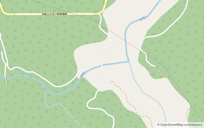
Aburumagawa Dam is a dam in Uonuma, Niigata Prefecture, Japan. The dam was built between 1973 and 1986. It is a 93.5 m concrete gravity dam, for the purpose of hydroelectric power and flood irrigation control in Niigata Prefecture. The water freezes over during the winter months, affecting supply. ()
Local name: 破間川ダム Opened: 1986 (40 years ago)Length: 919 ftHeight: 307 ftReservoir area: 200.16 acres (0.3127 mi²)Coordinates: 37°20'36"N, 139°9'50"E
Location
Niigata
ContactAdd
Social media
Add
Day trips
Aburumagawa Dam – popular in the area (distance from the attraction)
Nearby attractions include: Kuromata Dam, Liu shi li yue qia kai dao ji nian bei, Kuromatagawa Dam.


