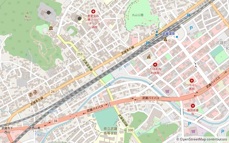
Wu xiong shi yi suo, Takeo
Map

Map

Facts and practical information
Wu xiong shi yi suo is a place located in Takeo (Saga prefecture) and belongs to the category of city hall.
It is situated at an altitude of 36 feet, and its geographical coordinates are 33°11'38"N latitude and 130°1'8"E longitude.
Among other places and attractions worth visiting in the area are: Gong yi cai tuan fa ren yang guang mei shu guan hui zhou yuan Yoko Museum Keishu-En (garden, 17 min walk), Taku Seibyō (temple, 165 min walk).
Coordinates: 33°11'38"N, 130°1'8"E
Address
Takeo
ContactAdd
Social media
Add
Day trips
Wu xiong shi yi suo – popular in the area (distance from the attraction)
Nearby attractions include: Taku Seibyō, Gong yi cai tuan fa ren yang guang mei shu guan hui zhou yuan Yoko Museum Keishu-En.


